Measured Building Survey | Residential | Manchester
Project Scope
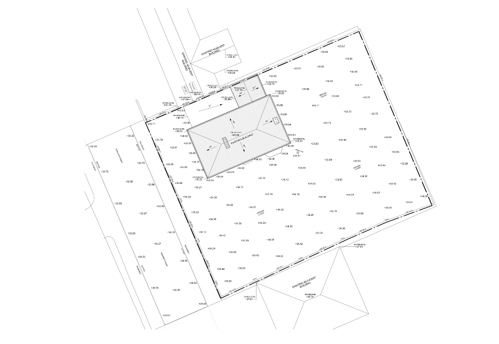
Our team was engaged to carry out a detailed measured building and topographic survey to support the client’s application for a new site development. The focus was an accurate topographic model of the lot, with additional capture of adjacent structures, specifically eaves and ridge heights, to inform the application.
Equipment Used
Laser Scanner RTC360
Leica GNSS Receiver GS14
Leica Total Station TS16
Duration
Site time: 1-2 days
Modelling time: 8 days
1. Topographic Survey & Modelling
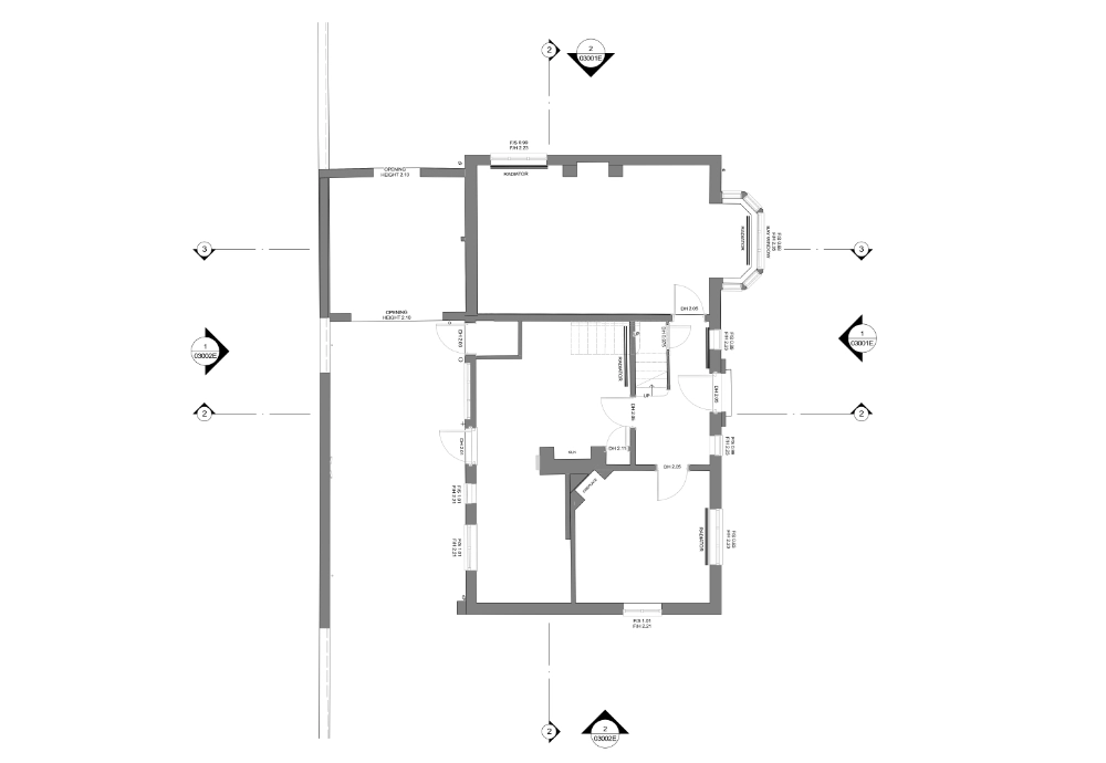
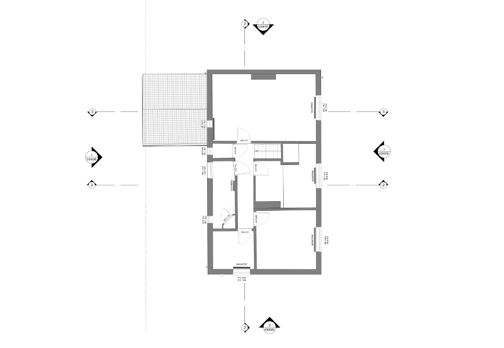
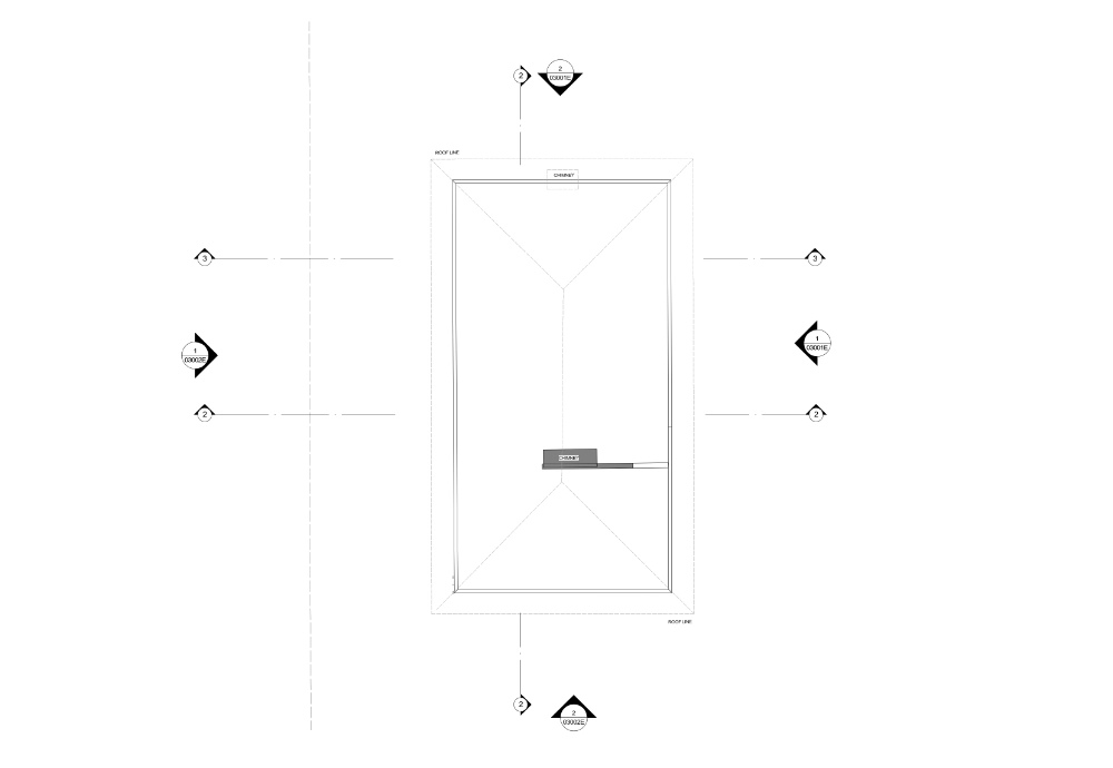
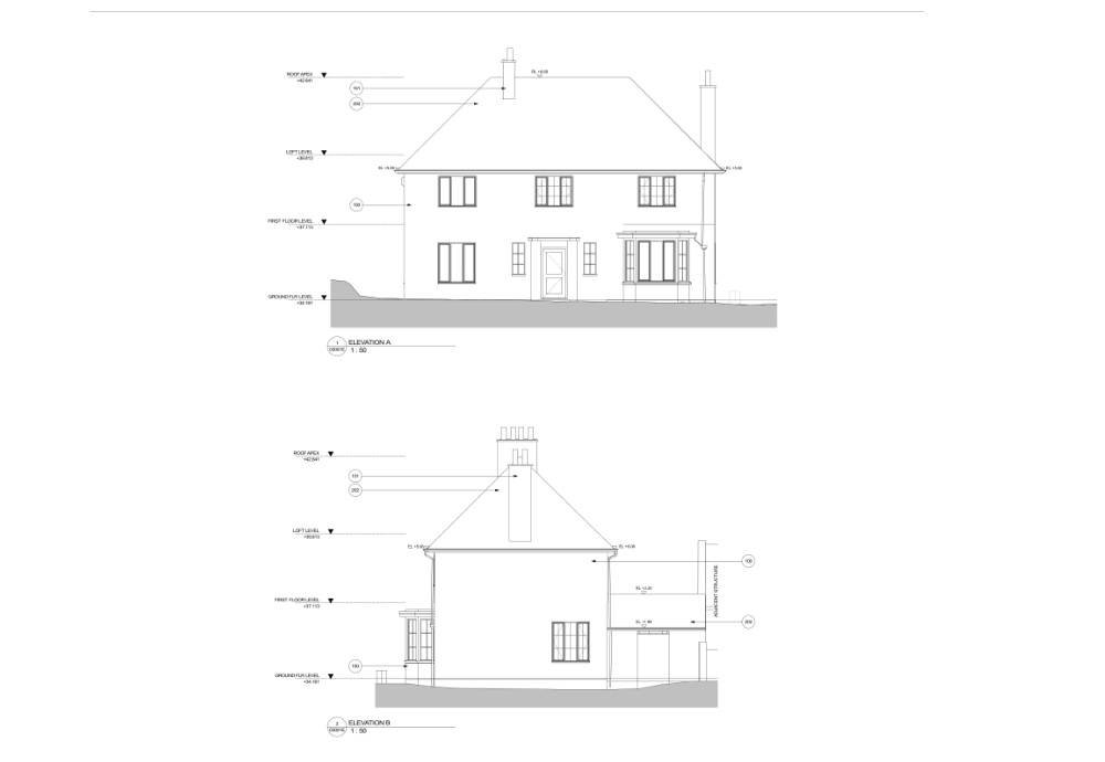
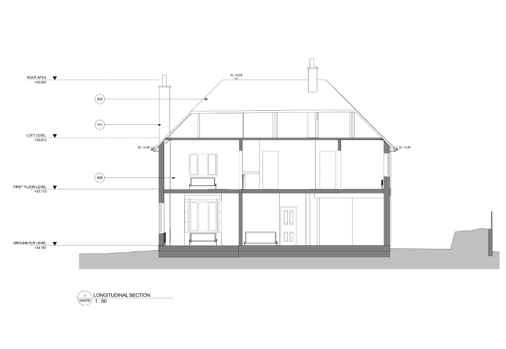
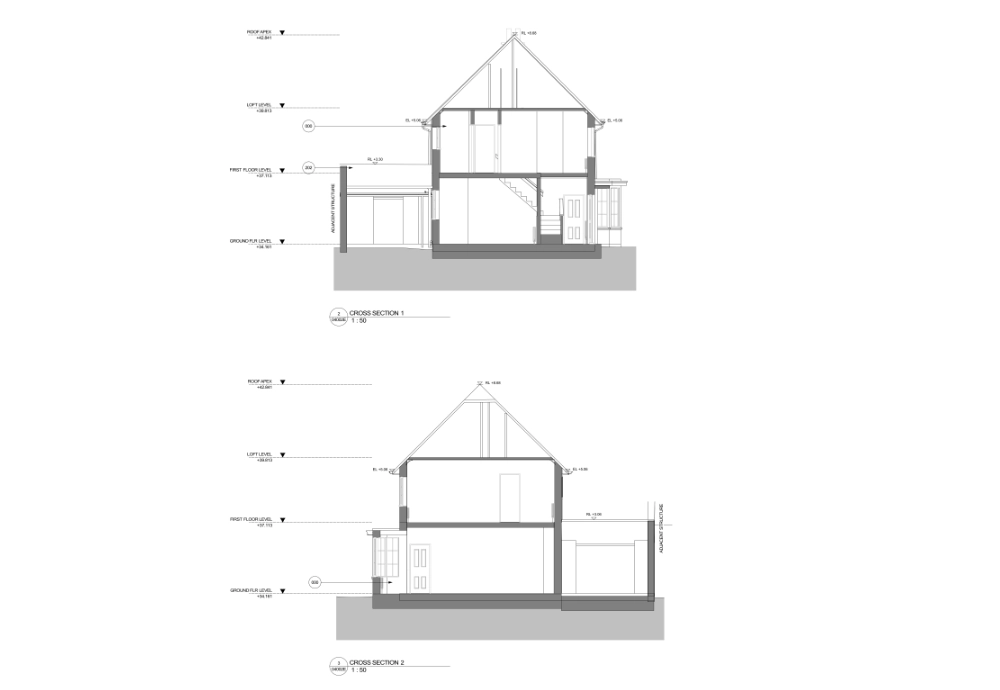
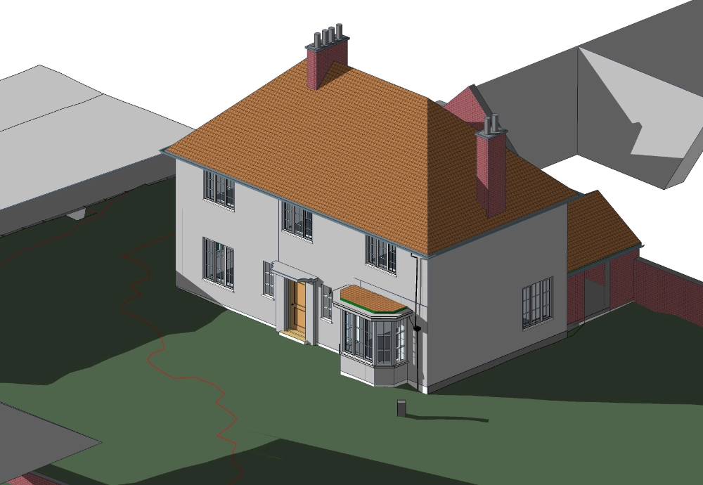
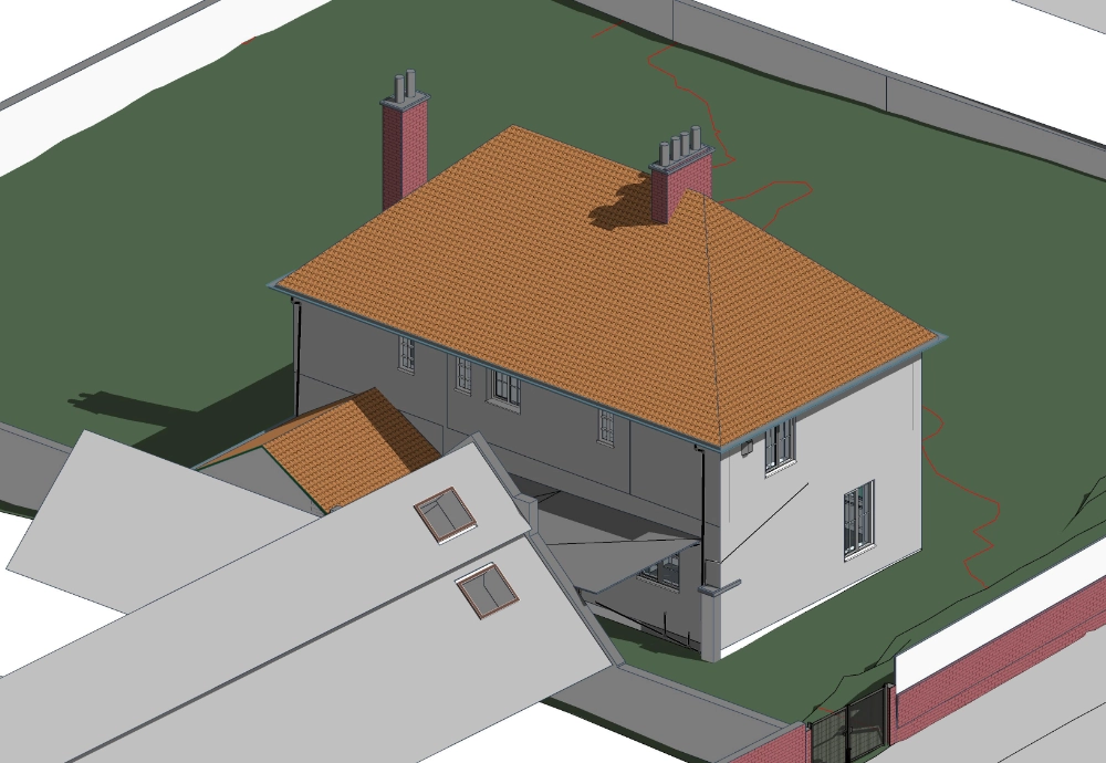
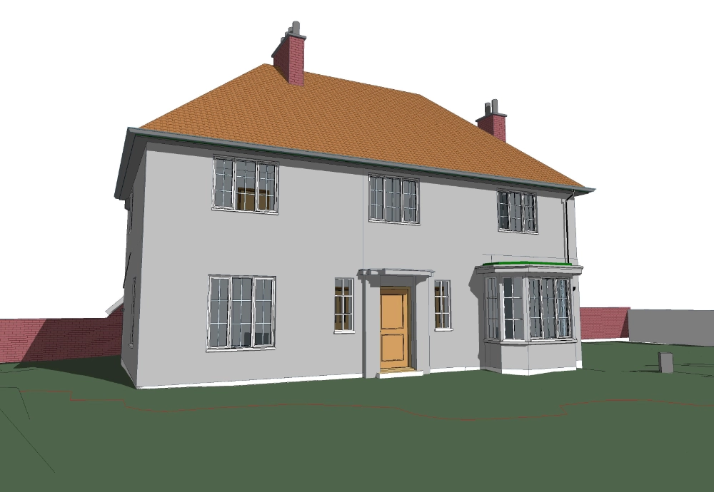
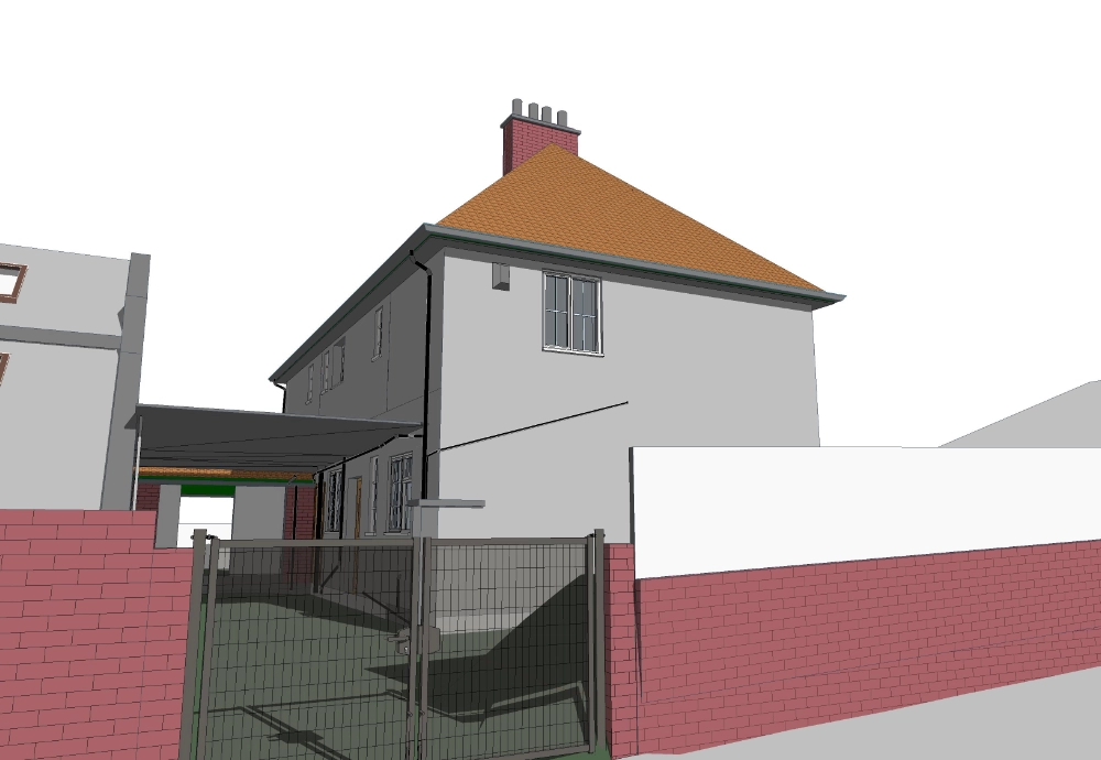
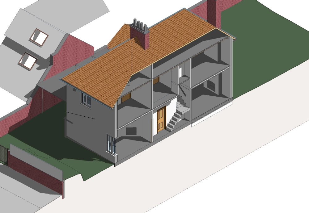
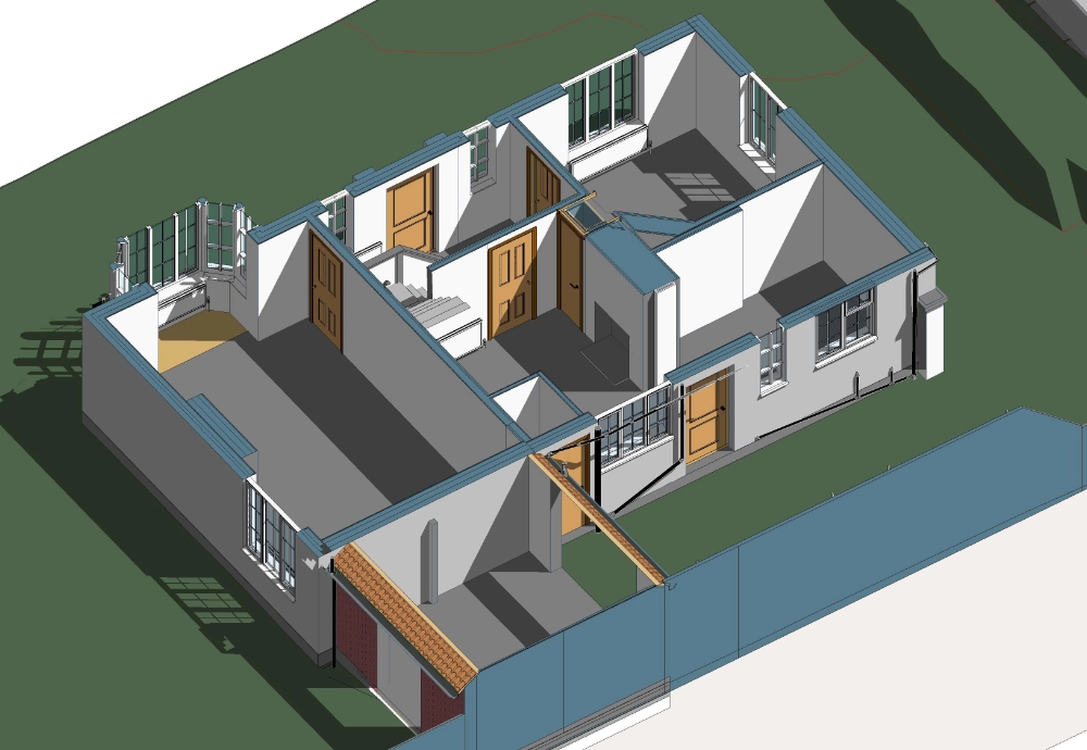
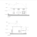
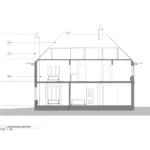
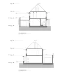
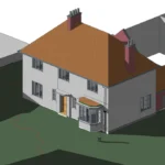
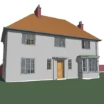
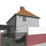
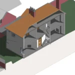
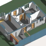
As the existing building occupies only a small portion of the lot, topography formed the foundation of the project. Following detailed analysis of the point cloud data, a strategic modelling approach was developed to meet the client’s requirements. The model incorporates roadways, sidewalks, and perimeter walls, alongside the existing building’s form and its classical architectural features.
2. Adjacent Structures
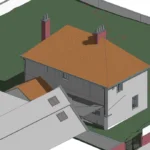
Eaves and ridge heights of the neighboring buildings were recorded and integrated into the model to support the client’s development application.
3. Point Cloud Challenges
Dense on-site vegetation introduced noise into the point cloud data. The team resolved these issues during processing to deliver an accurate topographic model without compromising data integrity.
Equipment Used
Laser Scanner RTC360
Leica GNSS Receiver GS14
Leica Total Station TS16
Duration
Site time: 1-2 days
Modelling time: 8 days
Deliverables
An accurate topographic model, incorporating adjacent structure heights, hard landscape elements, and the existing building’s form and classical detailing, providing the client with a dependable basis for their site development application.