Topographical Survey for Planning, Design and Development
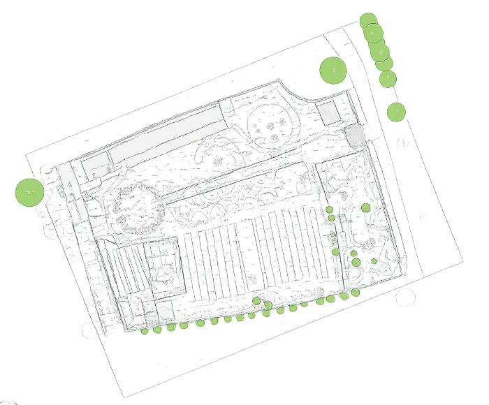
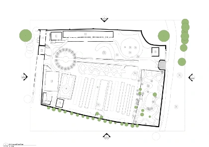
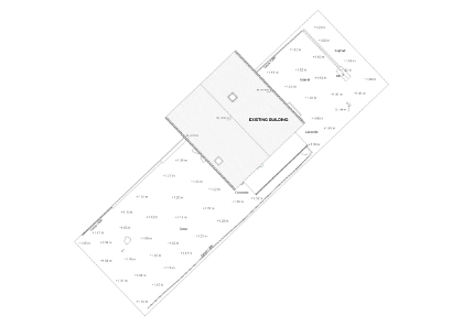
Accurate topographical surveys for planning, engineering and construction projects across the UK. Our topographical surveyors capture levels, contours, boundaries and key site features, delivering clear CAD, PDF, point cloud and 3D outputs based on your project scope.
Get the reliable site data your project team needs before design work begins.
Better Site Decisions Start With Reliable Topographical Data
Outdated plans and incomplete site information can create problems before design work begins. Unrecorded level changes, unclear boundaries and overlooked site features can affect layouts, drainage, access and construction costs.
A detailed topographical survey gives your project team a clear record of the land and visible site conditions, helping them plan around the actual site rather than assumptions.
Typical Site Challenges
Unclear or outdated site levels
Incomplete boundary information
Missing drainage and access features
Designs based on limited mapping
Usable Survey Data
Accurate levels and contours
Clearly recorded site features
Coordinated to your datum and grid
Reliable information for design and engineering
3D Topographical Surveys and Terrain Models
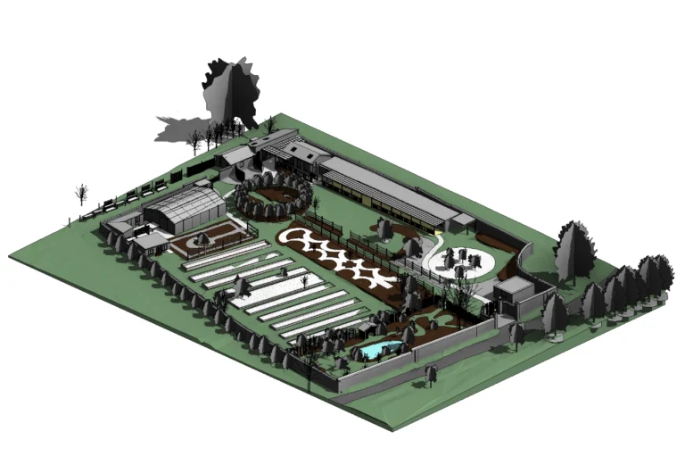
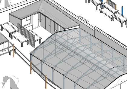
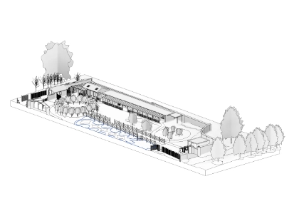
Where a 2D topo survey drawing isn’t enough, we produce 3D topographical surveys using GNSS, total station and 3D laser scanning. Point cloud data, terrain models and site sections give engineering and BIM teams a fuller picture of ground shape, level changes and surrounding context.
A 3D topographical survey suits sloping or irregular sites, drainage and earthworks design, and BIM-led projects where site data needs to sit alongside building models.
Topographical Survey Data & Deliverables
Ground Levels
and Contours
Boundaries
and Site Limits
Buildings and
Structures
Roads, Kerbs
and Access
Trees and
Vegetation
Drainage & Visible
Services
Street and Site Features
Surrounding Context
Choose the Right Topographical Survey Scope
Planning and Site
Layout Survey
Best for planning applications, residential projects,
extensions and early design work.
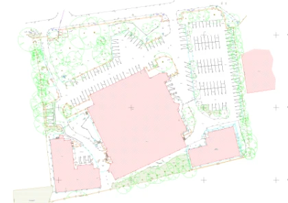
A topographical survey records the levels, shape and visible natural and man-made features of a site. The information is used for planning, design, engineering and construction work.
What is included in a topographical survey?
The scope can include levels, contours, boundaries, buildings, roads, paths, trees, drainage covers and other visible site features. The exact details are agreed before the survey.
Does a topographical survey include underground utilities?
A topographical survey records the site: levels, contours, boundaries and external features. An elevation survey records the vertical faces of a building. Projects involving both a site and an existing building often need both.
Can you provide a contour survey of the land?
Yes. Detailed contour surveys form part of most topographical surveys. Contour intervals are agreed during scoping, based on how the data will be used for drainage, earthworks or layout design.
What is the difference between a topographical survey and an elevation survey?
A standard topographical survey records visible service features. Detecting and mapping buried services requires a separate underground utility survey.
What file formats and software do you support?
We work with CAD, point cloud, 3D terrain, Revit and BIM workflows. Deliverables can include DWG, PDF, point cloud and Revit-ready formats.
Can the survey be linked to a coordinate system and datum?
Yes. The required coordinate system and datum are confirmed during project scoping and included where required.
How long does a topographical survey take?
Timescales depend on the site size, access, vegetation, level of detail and required outputs. We confirm the expected programme before work begins.
How much does a topographical survey cost?
The cost depends on the survey area, site conditions, level of detail required and deliverables. Use our online quotation tool for an initial estimate, or send us your project information for a tailored quote. For a fuller breakdown, read our guide to topo survey cost.
What survey equipment do you use?
We select the equipment according to the site and survey requirements. This may include GNSS receivers, total stations and 3D laser scanners.
Can you combine a topographical survey with a measured building survey?
Yes. We can coordinate topographical and measured building surveys to provide both external site and existing building information.