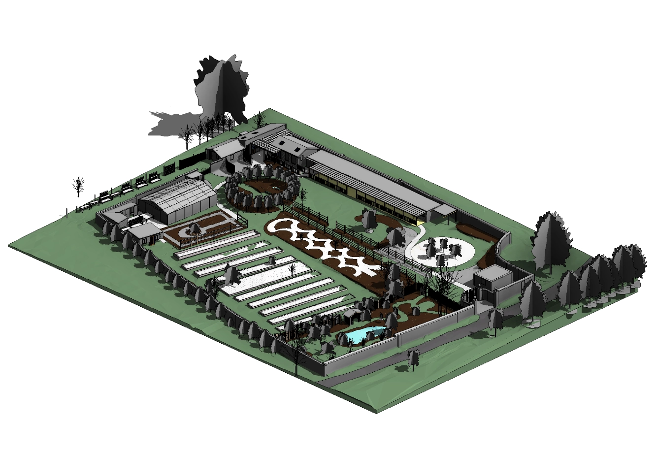
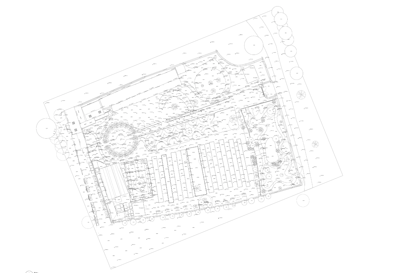
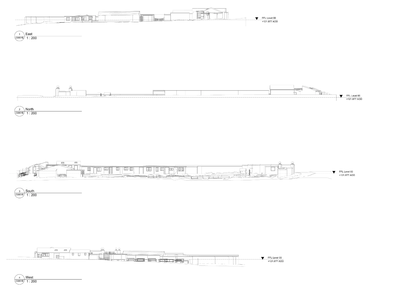
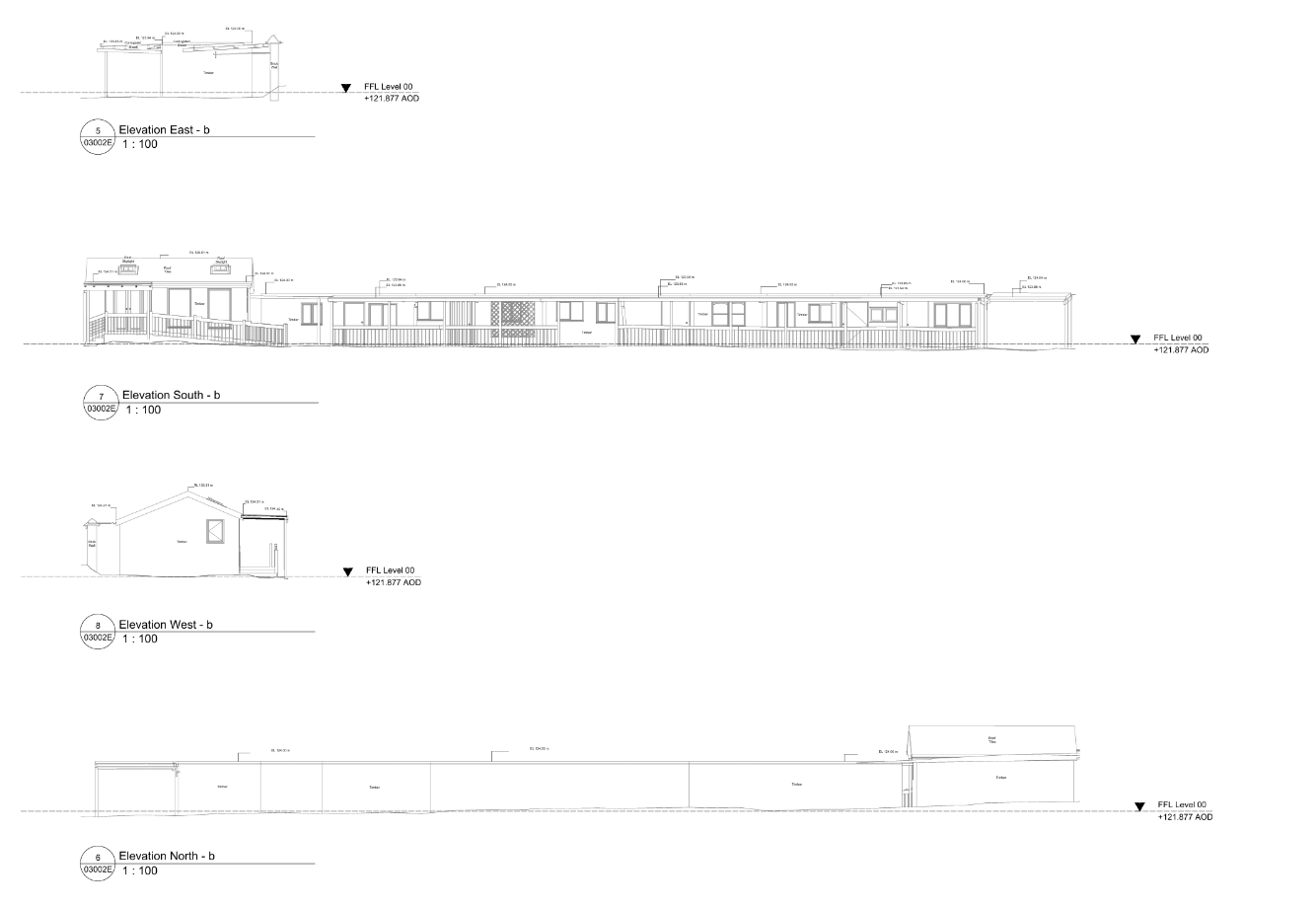
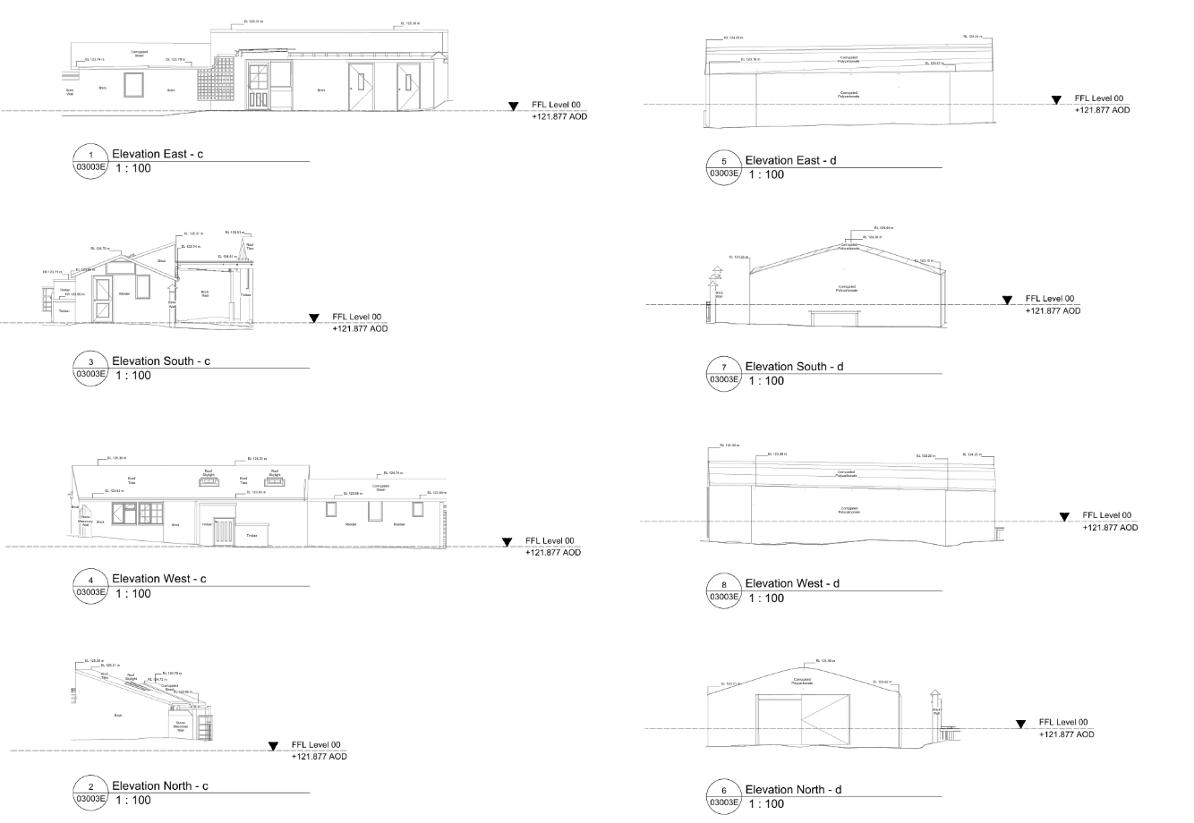
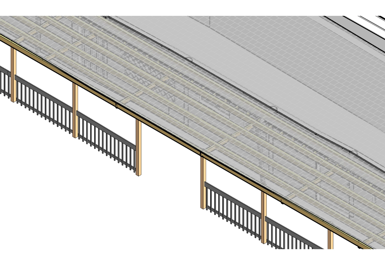
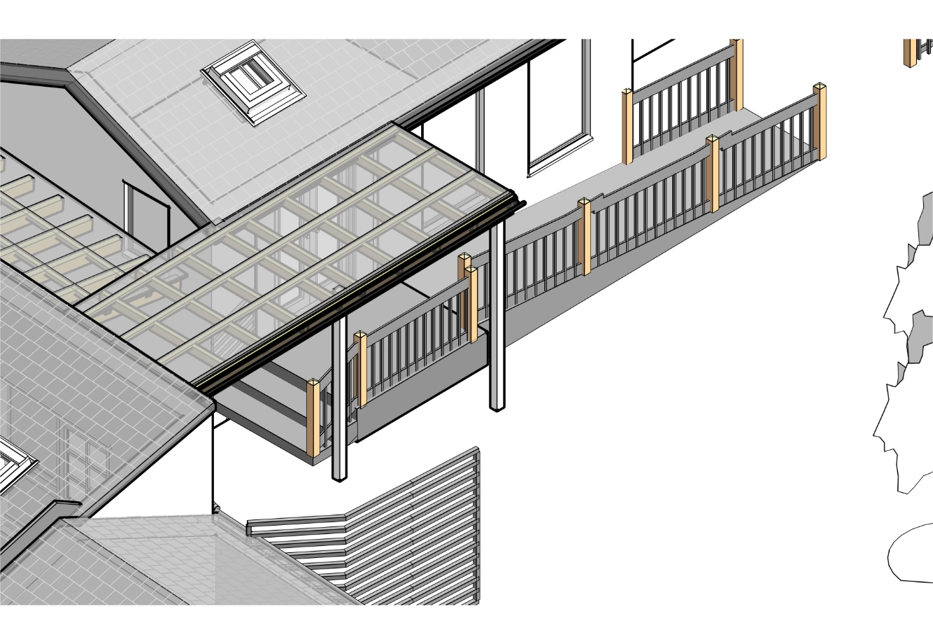
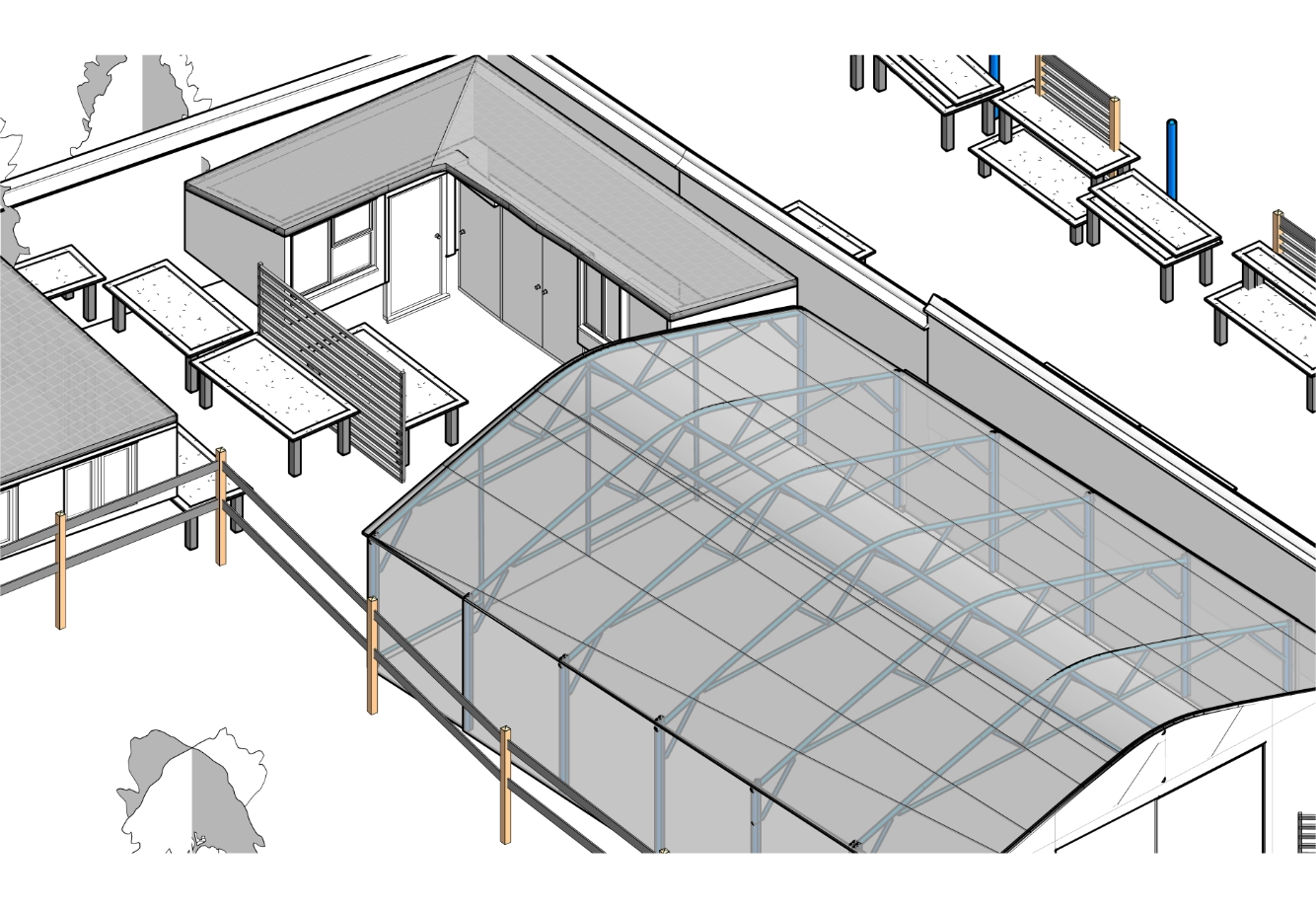
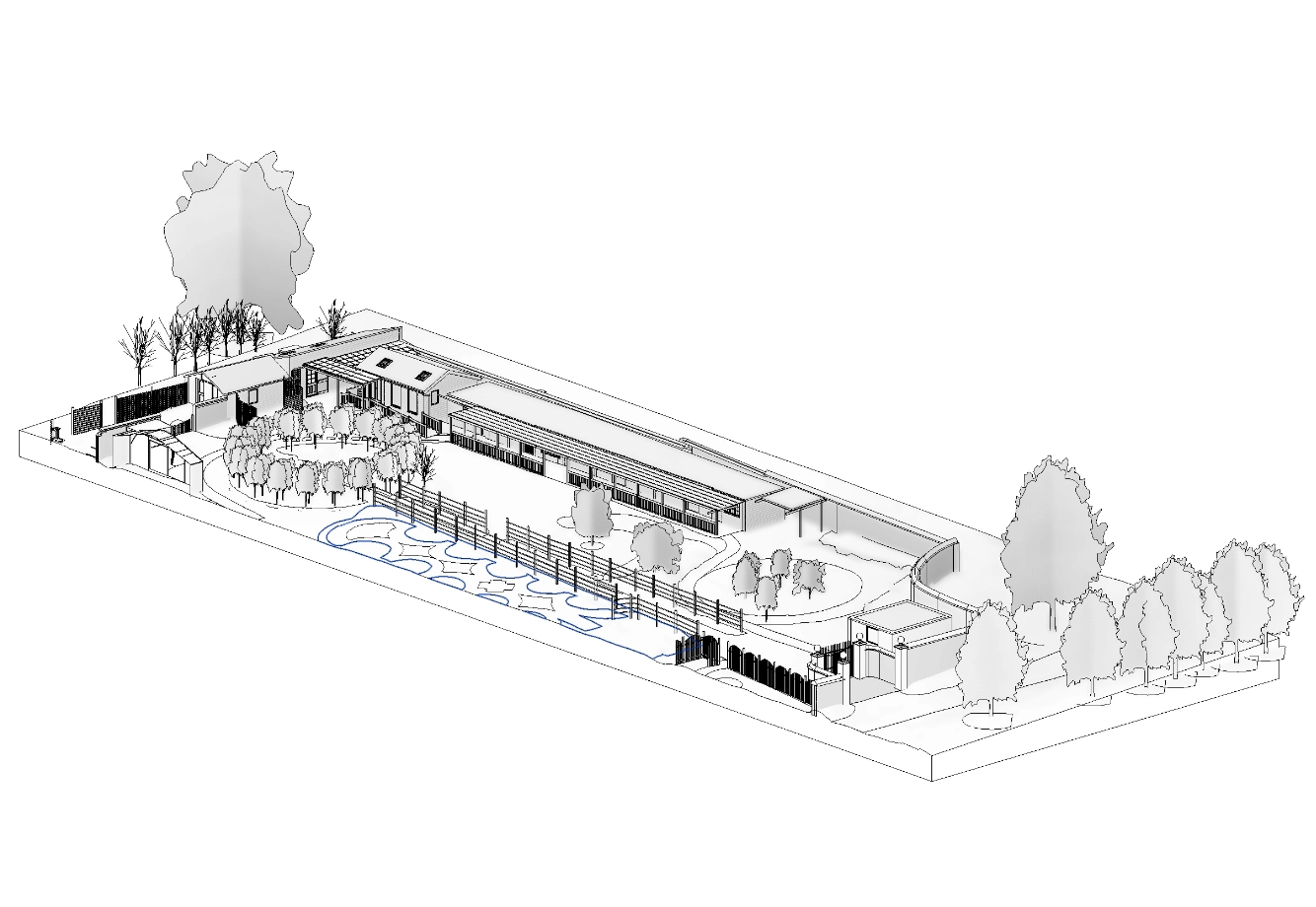
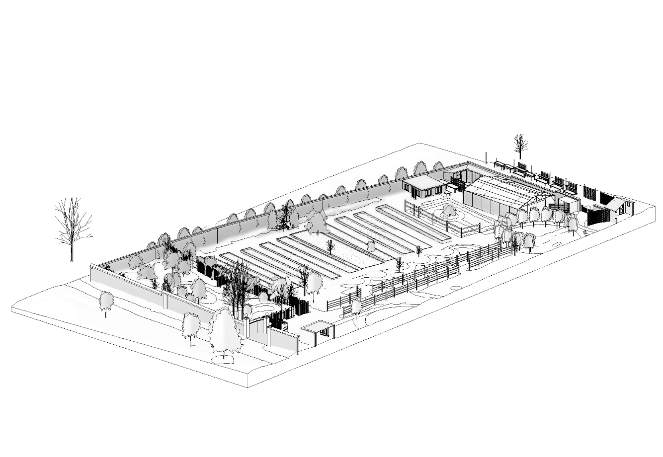
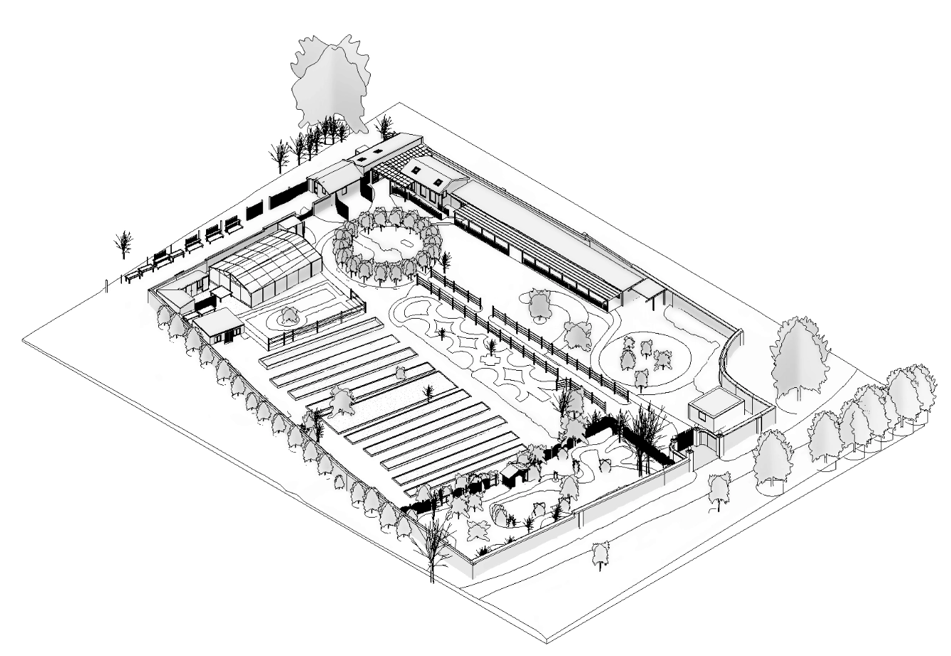
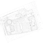
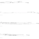
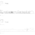
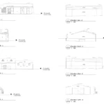
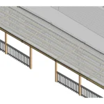
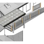
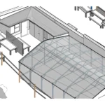
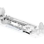
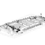
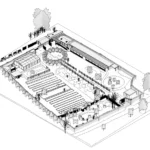
Our team carried out a topographical survey of a residential site in Oxfordshire. The site comprised five existing buildings and an expansive open area with abundant vegetation and gardens. The survey data was used to produce a detailed 3D topographical model along with plans and elevations.
Equipment Used
Laser Scanner RTC360
Leica GNSS Receiver GS14
Leica Total Station TS16
Duration
Site time: 1-2 days
Modelling time: 14 days
1. Site Survey
The site included a mix of built structures and open landscape, requiring full coverage across both. The extensive gardens and vegetation added complexity to the data capture, as dense planting can introduce noise into point cloud data. The survey covered the full extent of the site to provide the client with a complete topographical record.
2. Topographical Modelling
The point cloud data was processed to produce a detailed 3D topographical model. Plans and elevations were generated from the model, capturing the relationship between the five buildings and the surrounding landscape.
Equipment Used
Laser Scanner RTC360
Leica GNSS Receiver GS14
Leica Total Station TS16
Duration
Site time: 1-2 days
Modelling time: 14 days
Deliverables
Topographical plans, elevations, and a 3D topographical Revit model of the full site.