
Accurate underground utility surveys and utility mapping for development, engineering, construction and groundworks projects. Our utility surveyors locate, trace and map detectable buried services, helping your team plan with better information before excavation begins.
Reduce uncertainty around underground cables, pipes, ducts and drainage within your project area.
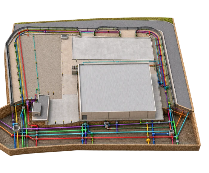
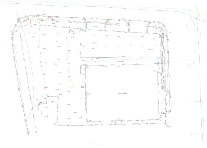
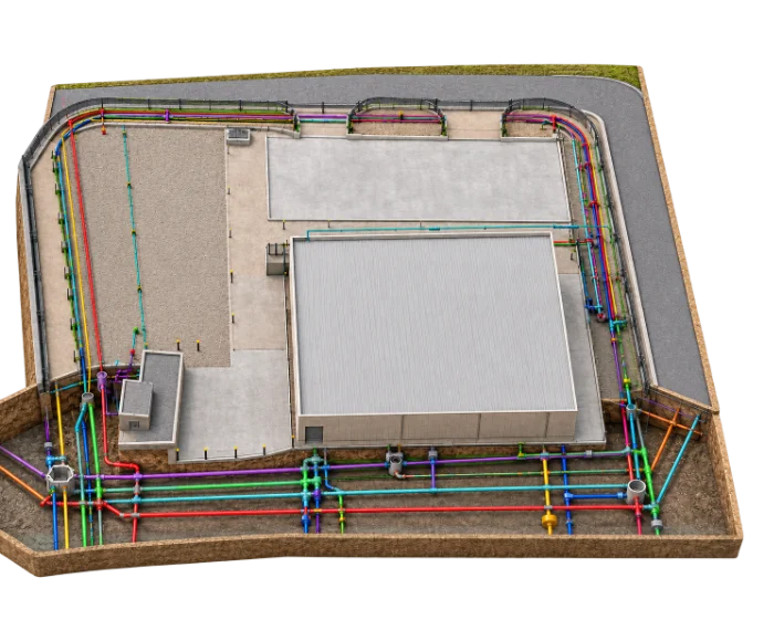
Underground mapping turns detection results into a clear record of what lies beneath your site. We combine statutory utility records, site reconnaissance and on-site detection to produce underground utility plans showing traced service routes within the agreed survey area.
Pre-construction utility mapping is most useful before groundworks, drainage design, foundation work and service connections, where unknown buried services create the greatest risk. Deliverables are issued as CAD and PDF underground utility maps that can be overlaid on your site drawings.

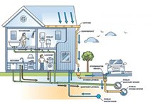

We’ll help you confirm the right utility survey area, detection methods and final deliverables.


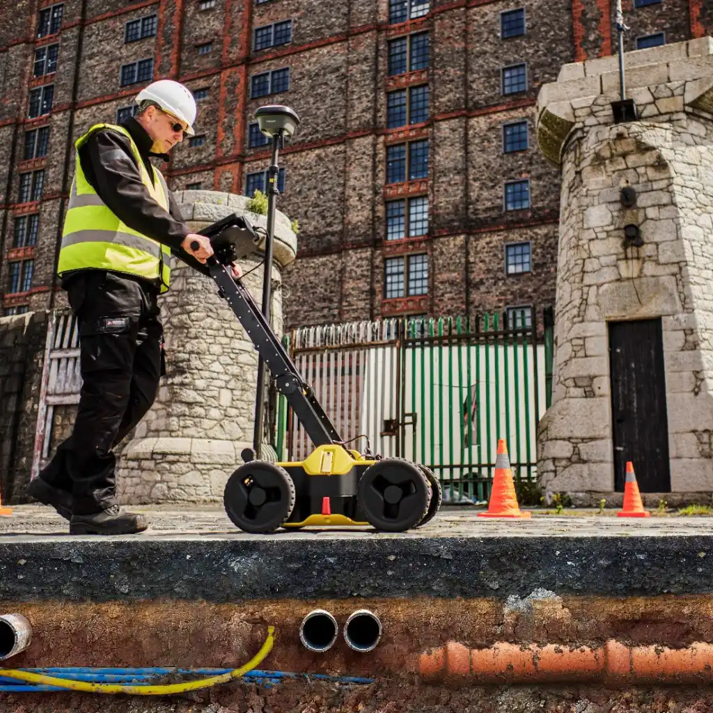
Our utility surveyors use suitable detection methods across the agreed survey area to identify and trace detectable buried services.


Tell us what work is planned and where it will take place. We’ll help you confirm the right utility survey scope and outputs.
Building the future of the construction industry, one project at a time.
Commercial Building
Birmingham
Mix-Use Development
Manchester
Public Building
Stockport
Residential Property
East London
A utility clearance survey confirms whether detectable buried services are present in a specific area before excavation, piling or investigation works begin. It’s usually carried out over a smaller, defined footprint rather than a whole site.
Subsurface utility mapping is another term for locating and recording buried services. It covers the same process described on this page: records collection, site reconnaissance and detection, presented as underground utility plans.
Most groundworks, drainage and foundation projects benefit from a pre-construction utility survey. Knowing where detectable services run reduces the risk of strikes, delays and redesign once work has started.
Ground-penetrating radar uses radar signals to identify subsurface features. Electromagnetic locating is used to trace conductive cables and pipes or services carrying a detectable signal.
A topographical survey may be useful where utility information needs to be coordinated with levels, boundaries, roads, buildings and other site features.
Copyright © 2026 Survey2Plan.

Accurate surveys, clear drawings and Revit models that help project teams plan, design and build with confidence.