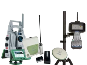
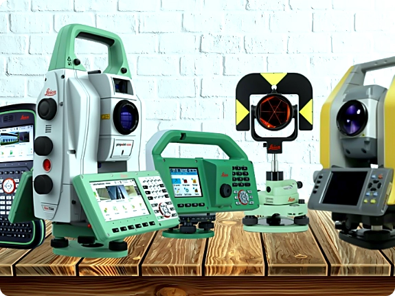
| Topographic Surveys | Robotic total station, GNSS, UAV | Establish control, capture boundaries/levels | DWG/DXF topo, contours, control report |
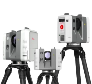
| Measured Building Surveys | 3D scanners, total station | Floors, elevations, sections, grids | CAD plans/elevations/sections, optional point cloud |
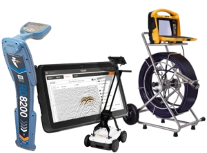
| Utility Mapping (PAS 128) | GPR, EM locators, GNSS/TS | Detection, mark-up, coordinate features | CAD with PAS 128 QL annotations, depth notes |
| 3D Laser Scanning | 3D scanners | High-density capture of complex structures | Point clouds (E57/RCP), QA registration reports |
| Scan-to-BIM | 3D scanners + modelling workflows | As-built Revit models to agreed LOD/LOR | Revit models, BEP conformance notes, QA checklist |