Measured Building & Topo Survey | Commercial Building | Birmingham
Project Scope
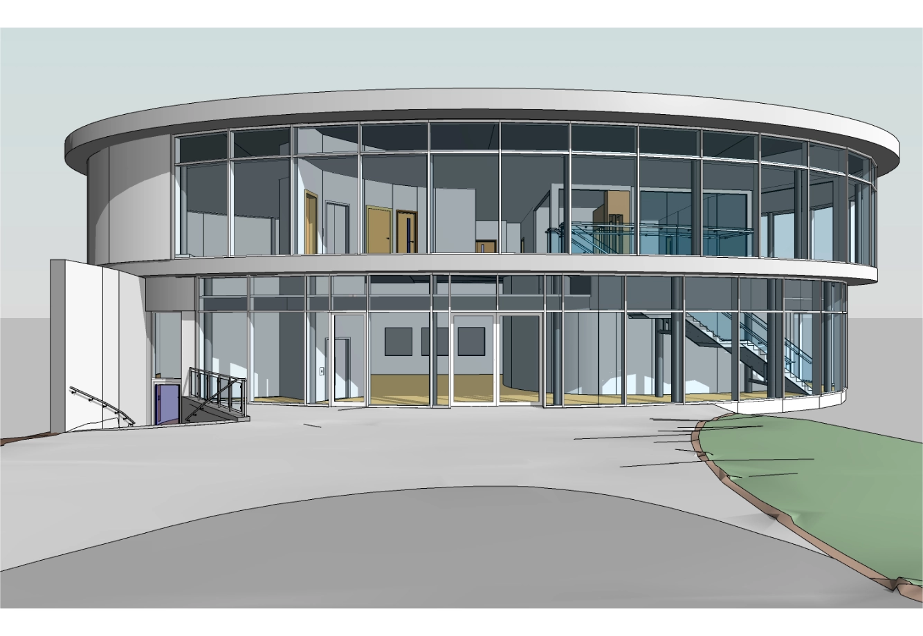
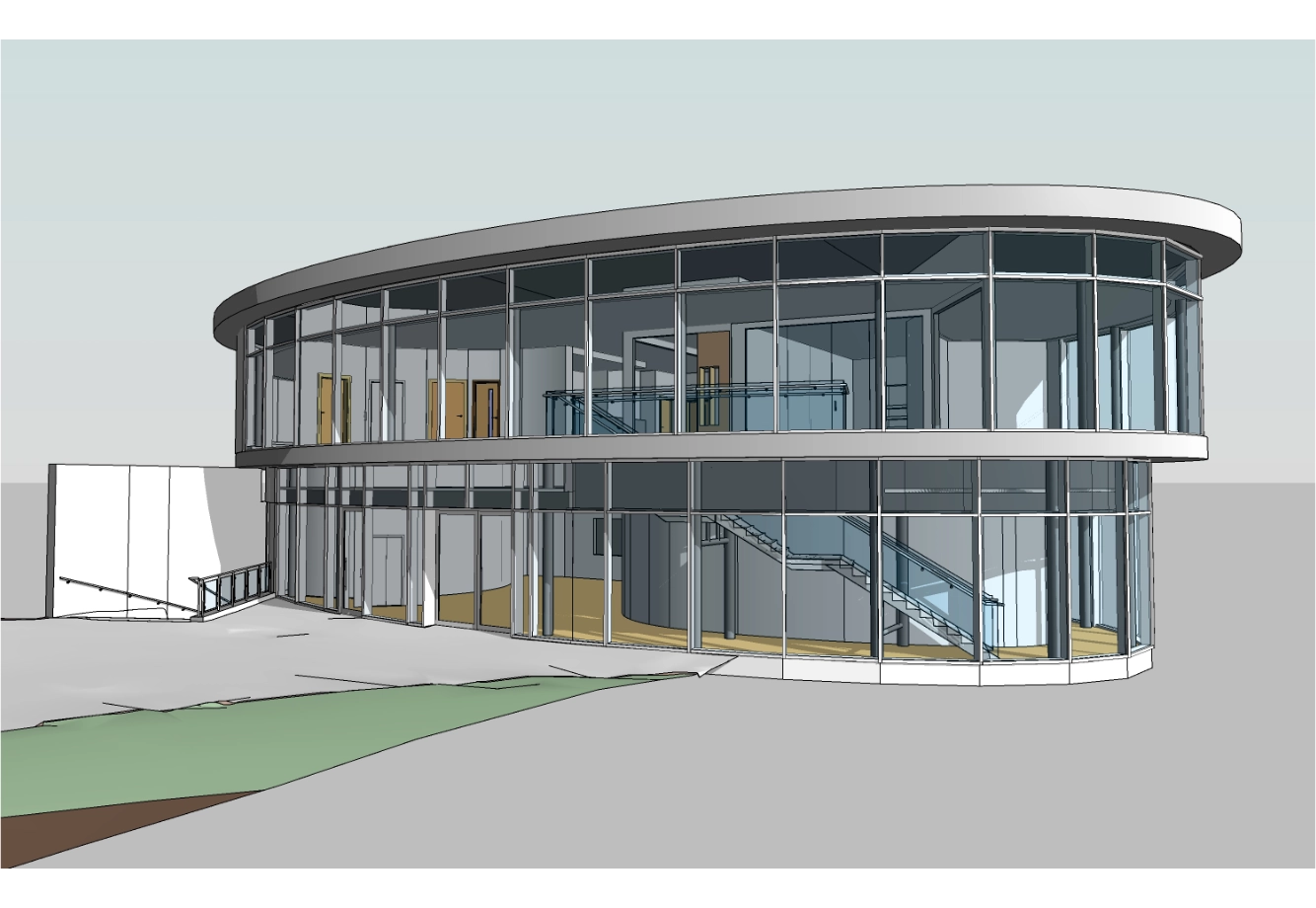
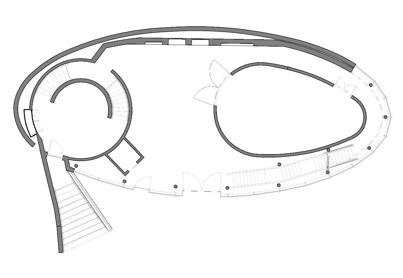
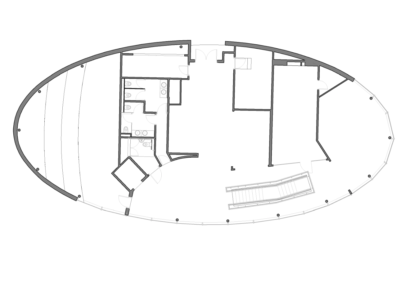
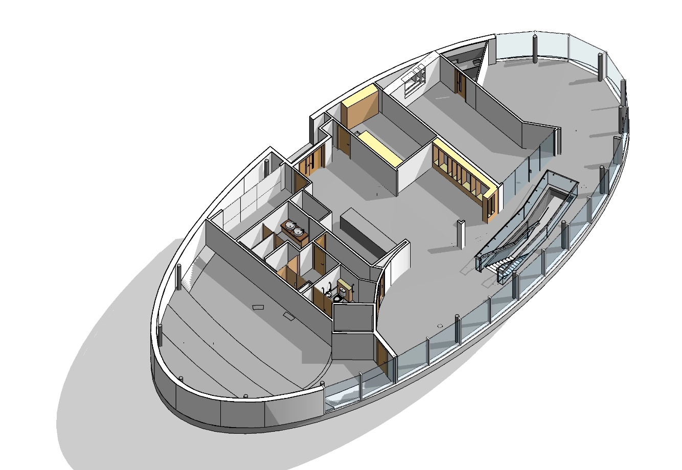
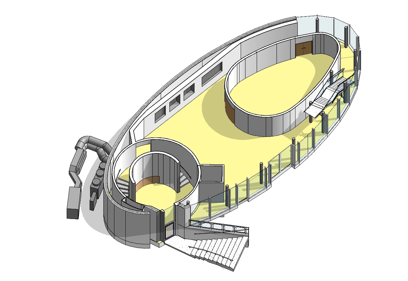
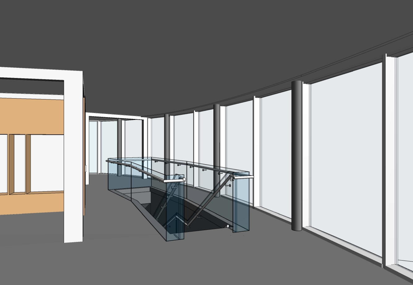
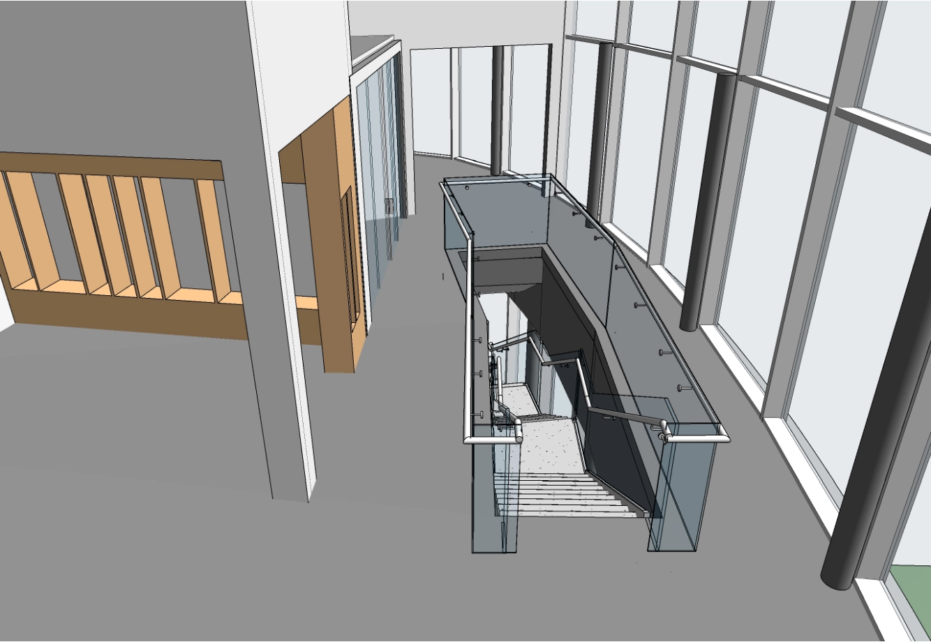
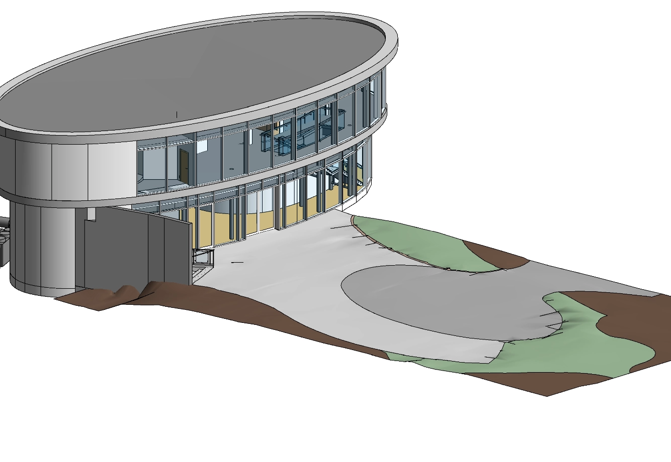
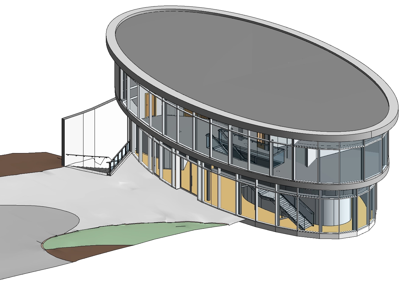
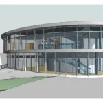
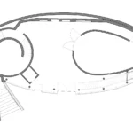
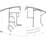
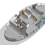
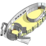
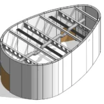
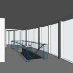
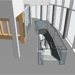
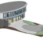
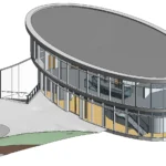
Our team carried out a detailed measured building and topographical survey of a commercial property. The objective was to produce an accurate and coordinated 3D Revit model to support ongoing construction works at RIBA Stage 5, representing the as-built condition of the site.
Equipment Used
Laser Scanner RTC360
Leica GNSS Receiver GS14
Leica Total Station TS16
Duration
Site time: 3 days
Modelling time: 45 days
1. Building and Topographical Survey
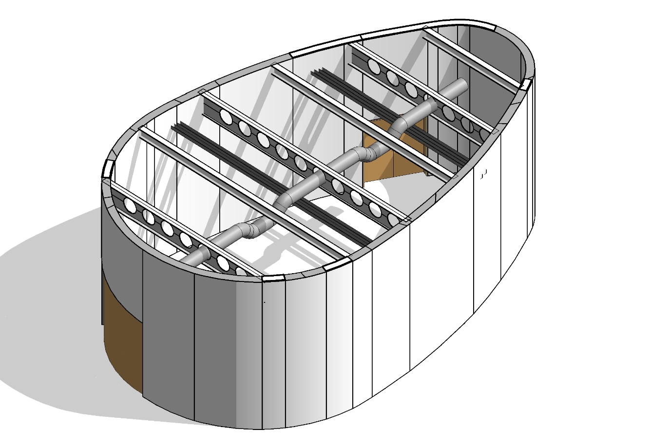
The model was developed from point cloud data, capturing key architectural and structural elements including walls, beams, joists, and bracing where visible. Internal features such as radiators, fitted cabinets, bathroom fixtures, and suspended ceiling voids were incorporated.
2. MEP and External Elements
Visible MEP components including ducting, piping, cable trays, and equipment were modelled where identifiable within the scan data. Particular attention was given to externally visible services at the rear of the building.
3. Modelling Approach
A detailed review of the point cloud data informed a selective and efficient modelling approach, focusing on clearly visible elements while maintaining accuracy.
Equipment Used
Laser Scanner RTC360
Leica GNSS Receiver GS14
Leica Total Station TS16
Duration
Site time: 3 days
Modelling time: 45 days
Deliverables
A coordinated 3D Revit model supporting ongoing construction activities and project coordination at RIBA Stage 5.