Measured Building Survey | Residential Property | Liverpool
Project Scope
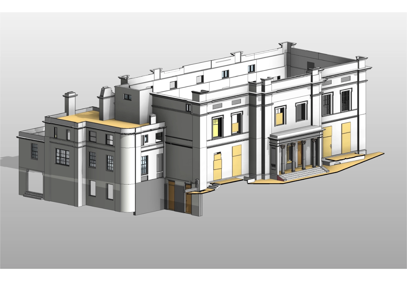
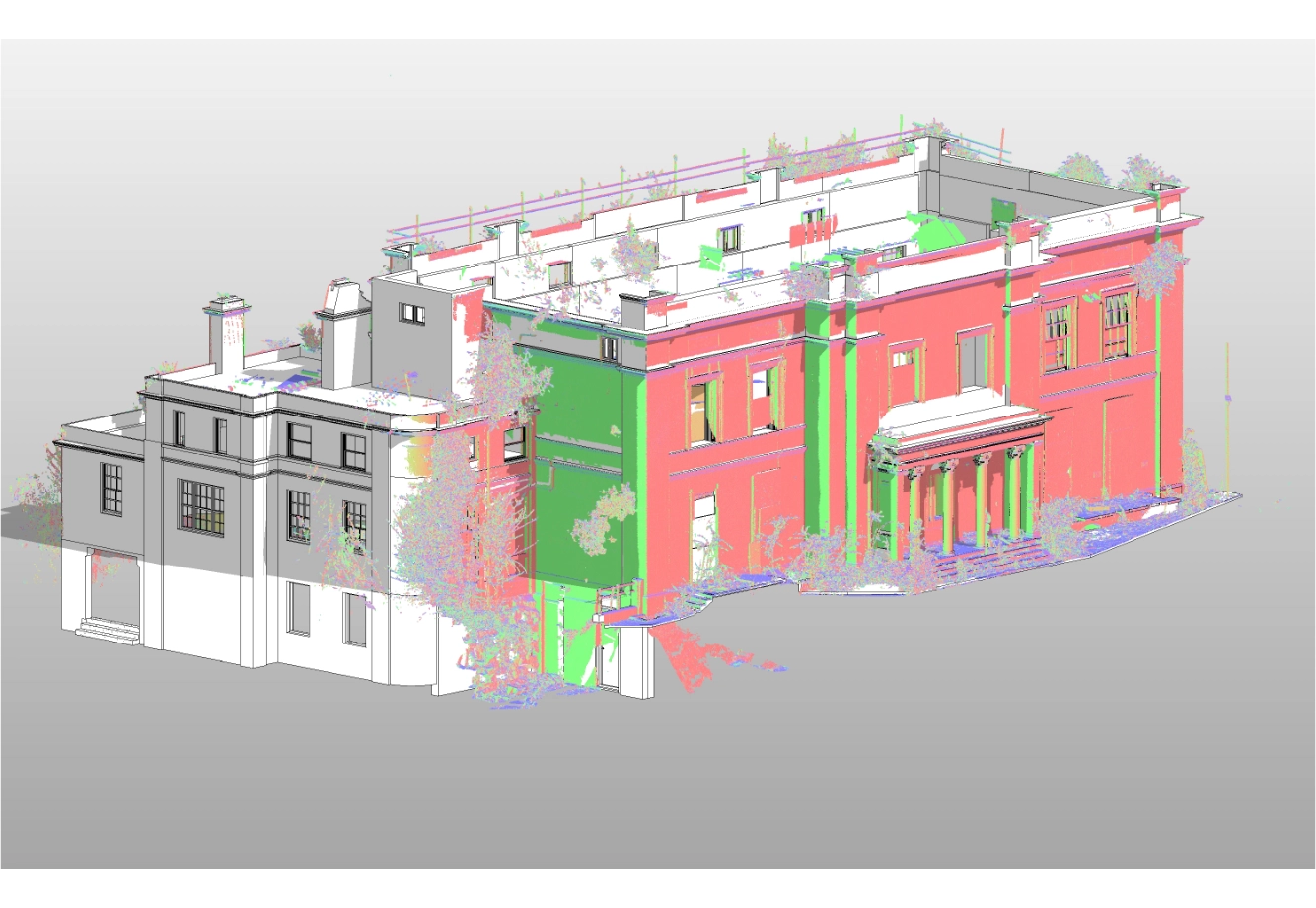
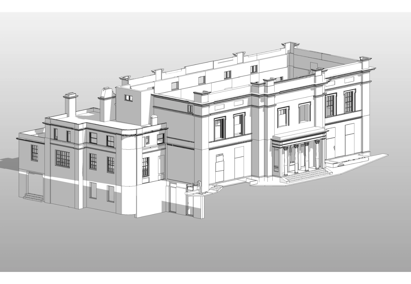
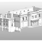
Our team carried out a detailed measured building survey of a residential property to support construction-stage requirements at RIBA Stage 5. The objective was to produce an accurate, geo-coordinated 3D Revit model reflecting the existing as-built conditions.
Equipment Used
Laser Scanner RTC360
Leica GNSS Receiver GS14
Leica Total Station TS16
Duration
Site time: 3 days
Modelling time: 45 days
1. Building Survey and Elevations
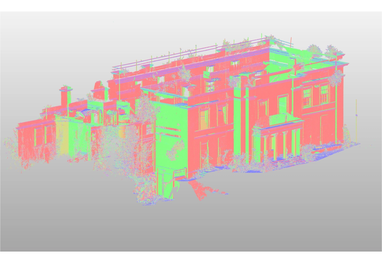
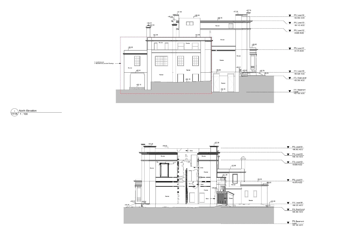
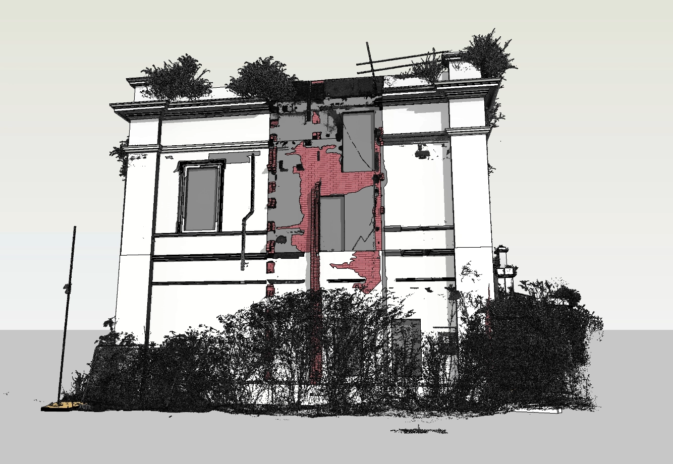
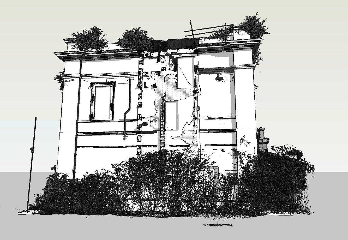
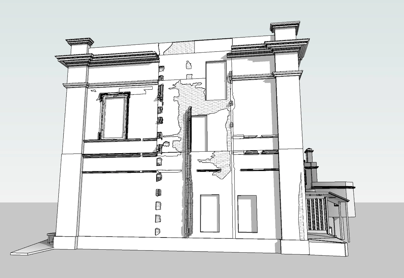
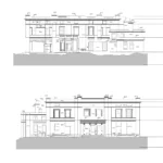
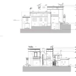
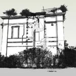
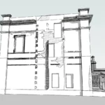
The model was developed from point cloud data with emphasis on capturing elevations in their true form, retaining existing irregularities in wall geometry rather than standardizing angles or tolerances. Cornices and mouldings were modelled using both point cloud data and reference imagery. Roof elements were modelled where visible, along with intact windows and external window mouldings. Wall voids were identified and incorporated where present.
2. Damage and Deterioration
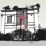
All visible defects and deterioration on the elevations were modelled as they appeared in the point cloud. The final model reflects the true condition of the structure without refinement or correction.
3. External Elements
Exterior steps and stairs were modelled in detail from the scan data.
Equipment Used
Laser Scanner RTC360
Leica GNSS Receiver GS14
Leica Total Station TS16
Duration
Site time: 3 days
Modelling time: 45 days
Deliverables
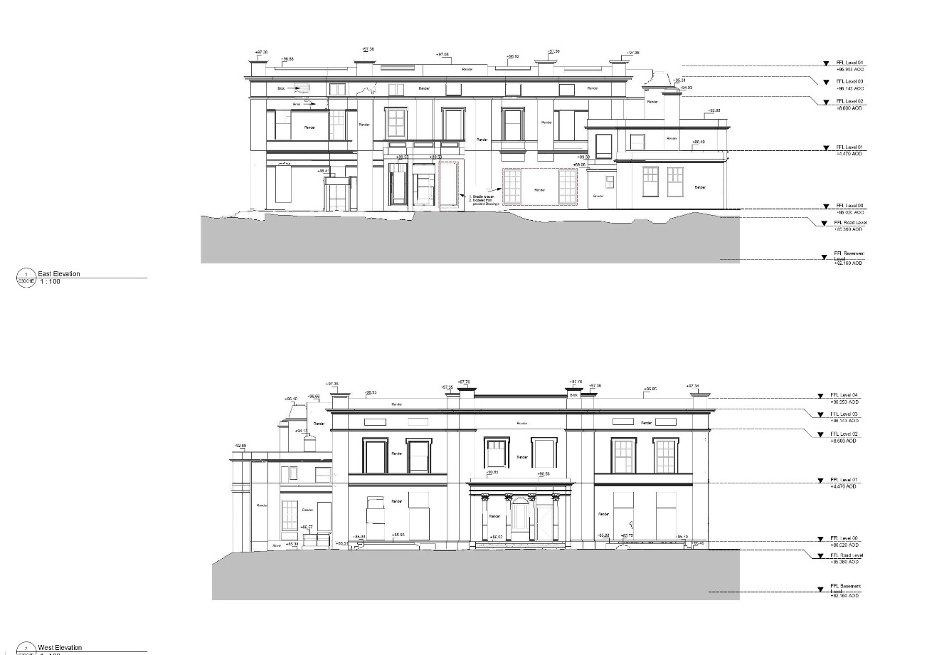
A coordinated 3D Revit model along with 2D outputs in PDF and DWG formats, including elevation drawings to support design and construction requirements.