Detailed Elevation Surveys for
Planning, Design and Refurbishment
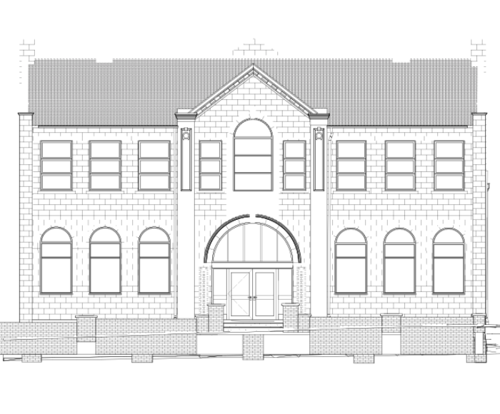
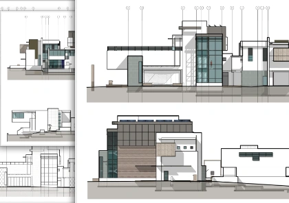
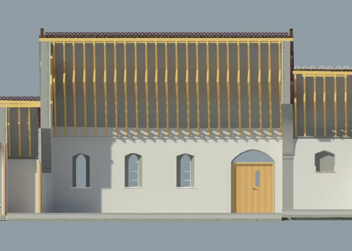
Accurate internal and external elevation drawings for architects, designers, developers and project teams. Our surveyors record the existing building façade, openings, levels, materials and architectural details needed for planning applications, refurbishment, extensions and building records.
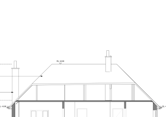
Elevations can be commissioned as a standalone service or combined with floor plans, sections, roof plans or a complete measured building survey.
Design From an Accurate Record of the Existing Building
Incomplete or outdated elevations can create problems during planning and design. Openings may be shown in the wrong position, rooflines may be unclear and important façade details may be missing.
A measured elevation survey gives your project team a reliable record of the building as it currently stands.
Common Challenges
Missing or outdated elevations
Incorrect openings and heights
Façade details not recorded
Repeated site checks
Survey Outcome
Current measured elevation drawings
Accurate positions & level relationships
Materials & architectural features captured
Clear information for design & planning
Elevation Survey Data Based on
Your Project Requirements
Doors and Windows
Rooflines & Parapets
Building Heights
& Levels
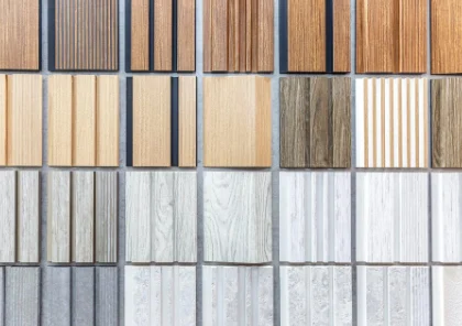
Facade Materials
Architectural
Features
Balconies
& Railings
Adjacent Building Context
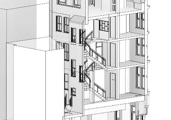
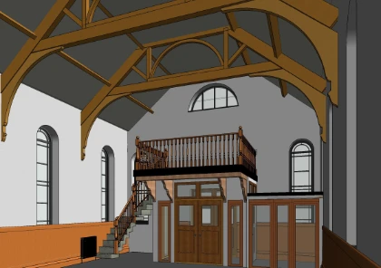
Internal Wall Elevations
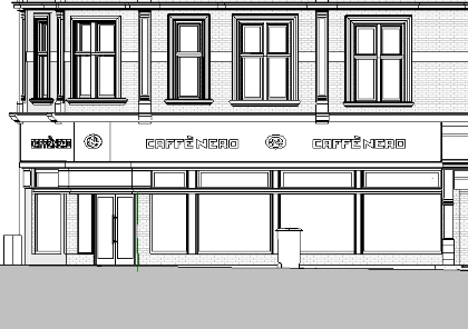
Shopfronts and Signage
Visible Services
Elevation Surveys Matched to
Your Project
External Elevation
Survey
Suitable for planning applications, extensions, façade alterations and general building records.
You send us the site location, required elevations, intended use & project deadline. Existing drawings, photographs & planning information can also be shared at this stage.
2. Scope Confirmation
We confirm which façades or internal walls are required. The level of detail, drawing scale, Survey method, Site access, Required outputs, Delivery timescale
3. Site Survey
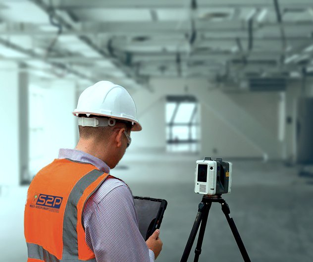
Our surveyors record the agreed building elevations using suitable measured survey and reality-capture equipment.
4. Drawing or Model Production
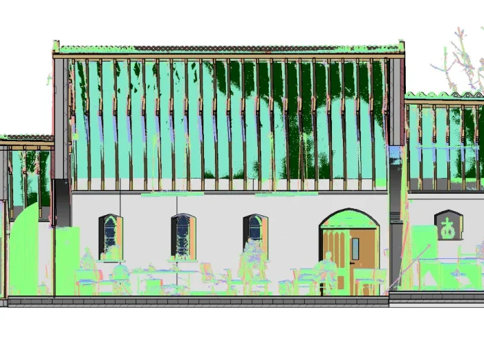
The captured data is processed into clear elevation drawings, point cloud data or Revit outputs.
5. Delivery and Support
The completed drawings are checked before being issued in the agreed formats.
Post-delivery support is available where clarification or agreed revisions are required.
The Survey2Plan Advantage
20+ Years of Project Experience
Clear Scope Before Survey
Clean, Usable Elevation Drawings
Internal and External Elevation Support
3D Laser Scanning for Complex Buildings
CAD, PDF, Point Cloud and Revit Outputs
Up to 10 Post-Delivery Revisions
Transparent Pricing
Clear Communication
Need Accurate Elevations Before Design Begins?
We will help you define the survey scope and deliver the information your project team needs.
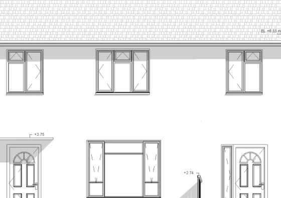
An elevation survey records the vertical face of a building.
It can show doors, windows, rooflines, levels, materials, architectural details and visible external services.
What is included in an elevation drawing?
The content depends on the agreed scope.
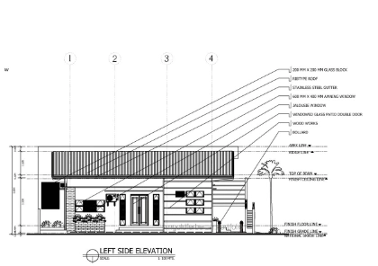
A typical external elevation may show openings, roof details, materials, floor levels, ground levels, chimneys, gutters, downpipes and architectural features.
Can I order elevations without a full measured building survey?
Yes.
Elevation surveys can be commissioned independently or combined with floor plans, sections, roof plans, topographical information or a full measured building survey.
What is the difference between internal and external elevations?
External elevations record the outside faces of a building.
Internal elevations record individual walls inside a room or space, including openings, fixtures and other visible features.
How accurate are measured elevation surveys?
The required accuracy depends on the building, access, drawing scale and intended use.
We agree the survey method, accuracy requirements and level of detail before work begins.
Can you survey tall or difficult-to-access façades?
Yes.
Depending on the building and site conditions, we can use 3D laser scanning, reflectorless survey equipment, remote measurement or other suitable methods.
Can you survey listed or heritage buildings?
An elevation survey records the vertical faces of a building: façades, openings, levels and detail. A topographical survey records the site itself, including levels, contours and boundaries. Projects involving both a building and its surroundings often need both.
What is the difference between an elevation survey and a topographical survey?
Yes.
Detailed elevation surveys can record historic materials, decorative features and complex façade geometry for conservation, refurbishment and building records.
Do you use 3D laser scanning?
Yes.
3D laser scanning may be used where the building is complex, highly detailed or difficult to access.
Can you provide street-scene elevations?
Yes.
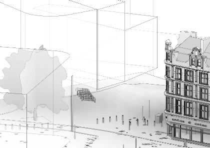
Street-scene elevations can show the subject building together with neighbouring properties and surrounding building context.
Can elevation surveys support rights-of-light work?
Elevation surveys can provide building heights, rooflines, window positions and neighbouring context for rights-of-light consultants.
The exact requirements should be confirmed by the appointed consultant before the survey.
What file formats can you provide?
We can provide DWG, PDF, point cloud, Revit and BIM-ready outputs depending on the agreed scope.
How long does an elevation survey take?
The timescale depends on the size and complexity of the building, number of elevations, site access, level of detail and required outputs.
We confirm the expected delivery programme before starting work.
What affects the cost of an elevation survey?
The main factors include:
Building size
Number of elevations
Façade complexity
Required level of detail
Site access
Survey method
Required outputs
Delivery deadline
Do you provide elevation surveys across the UK?
Yes. Survey2Plan supports elevation survey projects across the UK.
Drop your File here
Request your survey quote
Tell us where and what, and we will price it properly.