Revit Model & Site Topography | Public Building | Mitcham, London
Project Scope
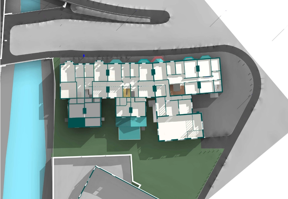
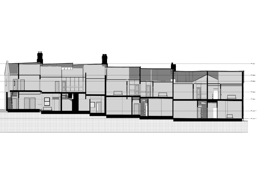
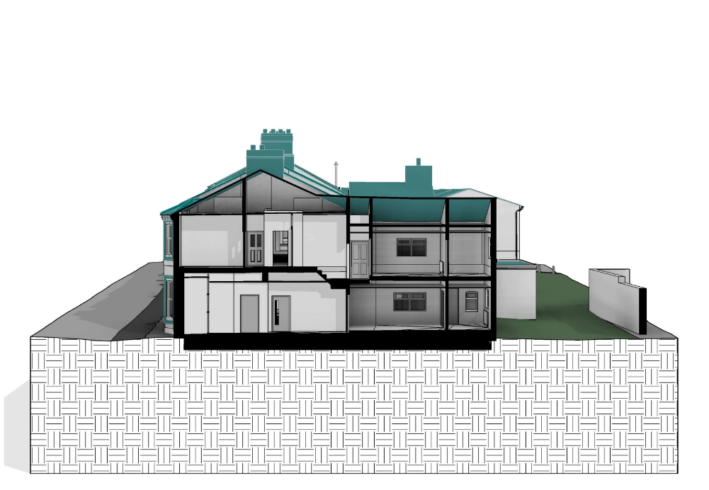
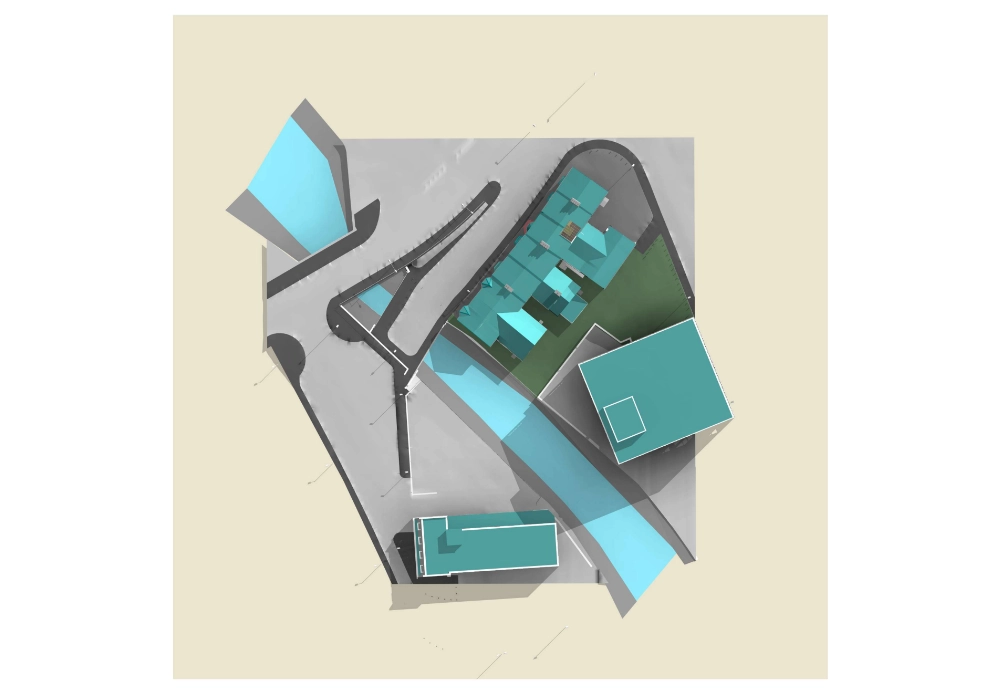
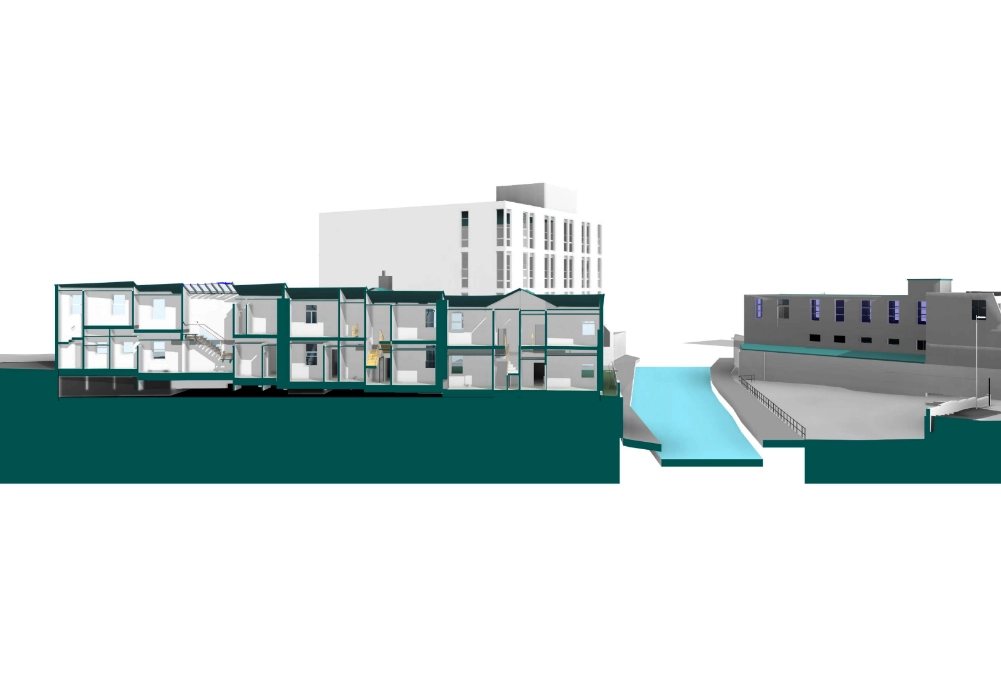
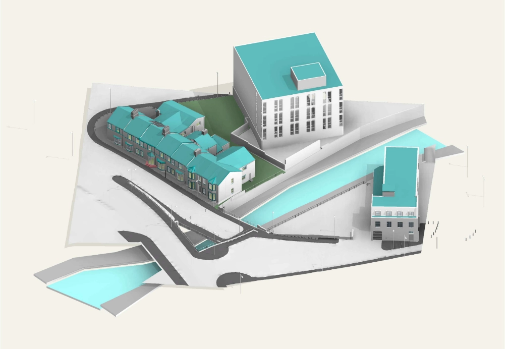
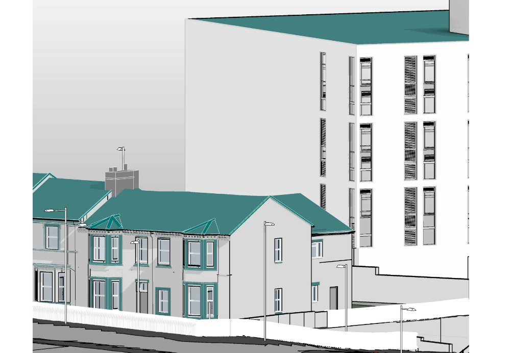
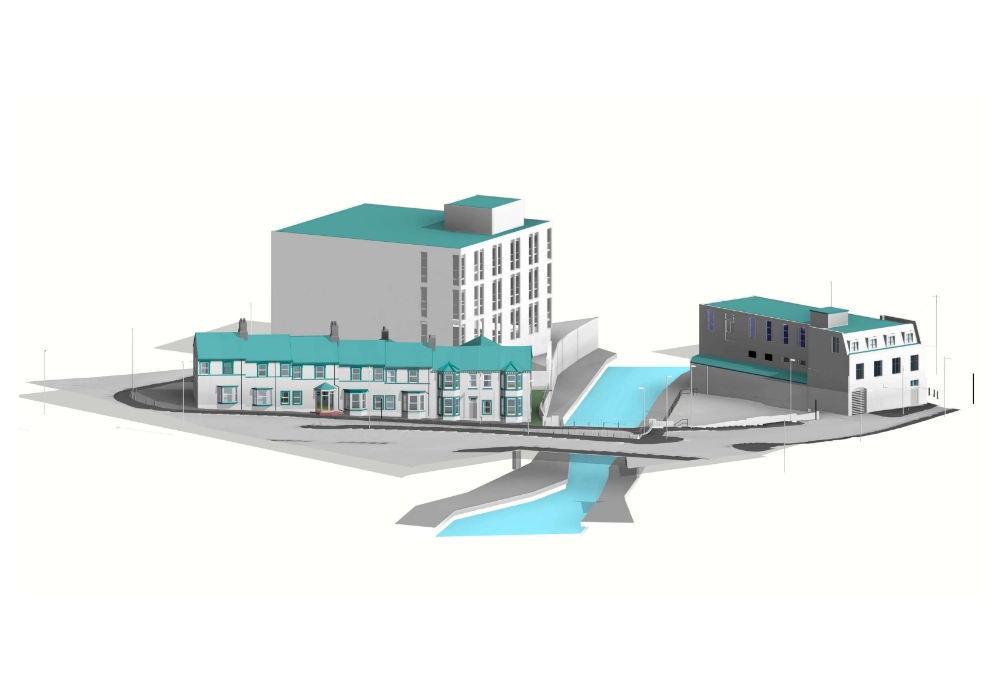
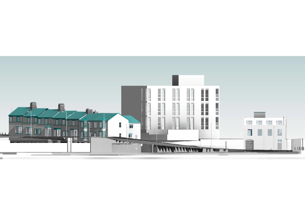
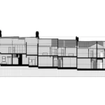
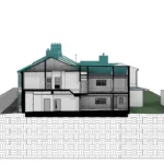
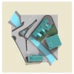
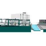
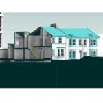
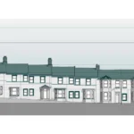
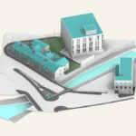
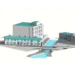
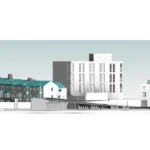
Our team developed a detailed 3D Revit model and comprehensive site topography for a large and complex site. The survey area included a river running through the center, extensive vegetation, surrounding mid- and high-rise buildings, and numerous external elements that required accurate representation within a coordinated model.
Key Details
Large and complex site topography
River running through the site
Extensive vegetation restricting visibility
Multiple surrounding buildings requiring accurate massing
Duration
Typical topography modelling: 2–3 days
This project: 8–9 days, due to the watercourse, dense vegetation and site size
1. Building and Site Modelling
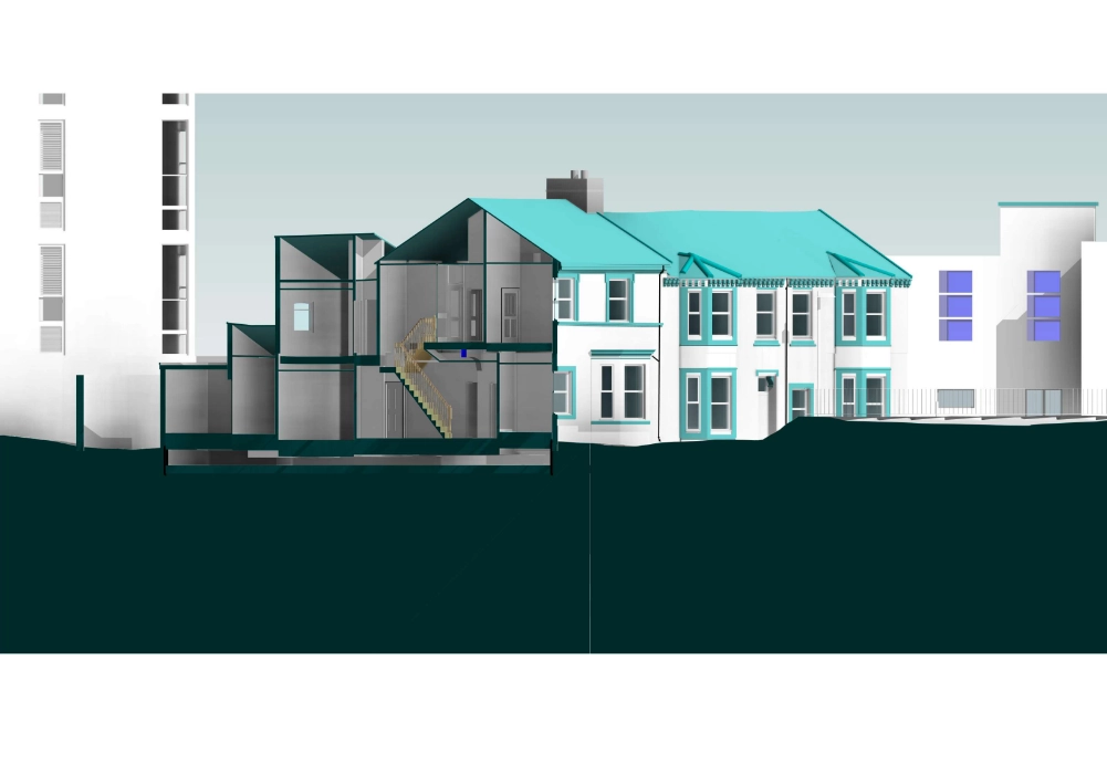
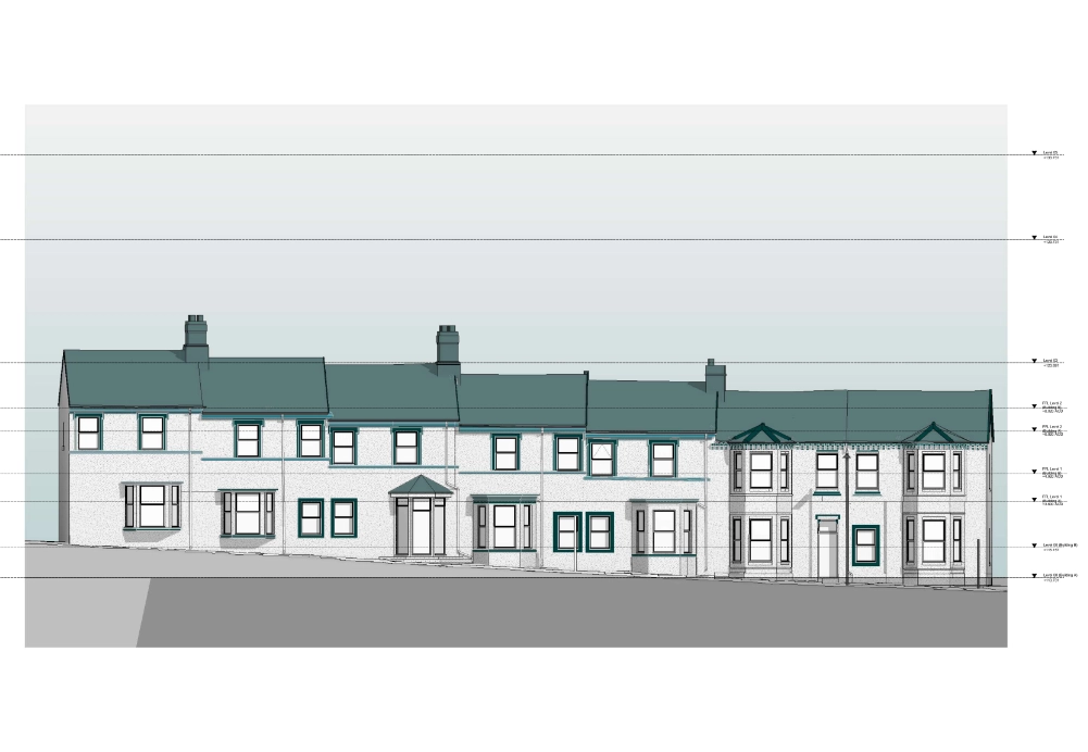
The scope included the main 3D building model and detailed site topography. Street lamps, benches, kerbs, vegetation and other landscape elements were included to represent the existing site conditions.
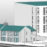
Surrounding mid- and high-rise buildings were modelled as simplified masses to show their scale, position and relationship to the site.
2. Complex Topography
The topography was the most demanding part of the project due to the size and complexity of the site. A river ran through the centre, while extensive vegetation and numerous external features increased the modelling required.
Dense vegetation also restricted visibility of some ground surfaces and built elements, requiring careful interpretation of the available survey data.
3. Point Cloud and Reference Imagery
High-quality point cloud data and detailed internal and external imagery provided clear reference throughout the modelling process.
The imagery helped identify site elements and architectural features that were difficult to interpret from the point cloud alone, allowing the building model to be developed more efficiently.
Equipment Used
Large and complex site topography
River running through the site
Extensive vegetation restricting visibility
Multiple surrounding buildings requiring accurate massing
Duration
Typical topography modelling: 2–3 days
This project: 8–9 days, due to the watercourse, dense vegetation and site size
Deliverables
A coordinated 3D Revit building model with detailed site topography, including the river, vegetation, kerbs, street furniture, surrounding building masses and other external site features required to accurately represent the existing site context.