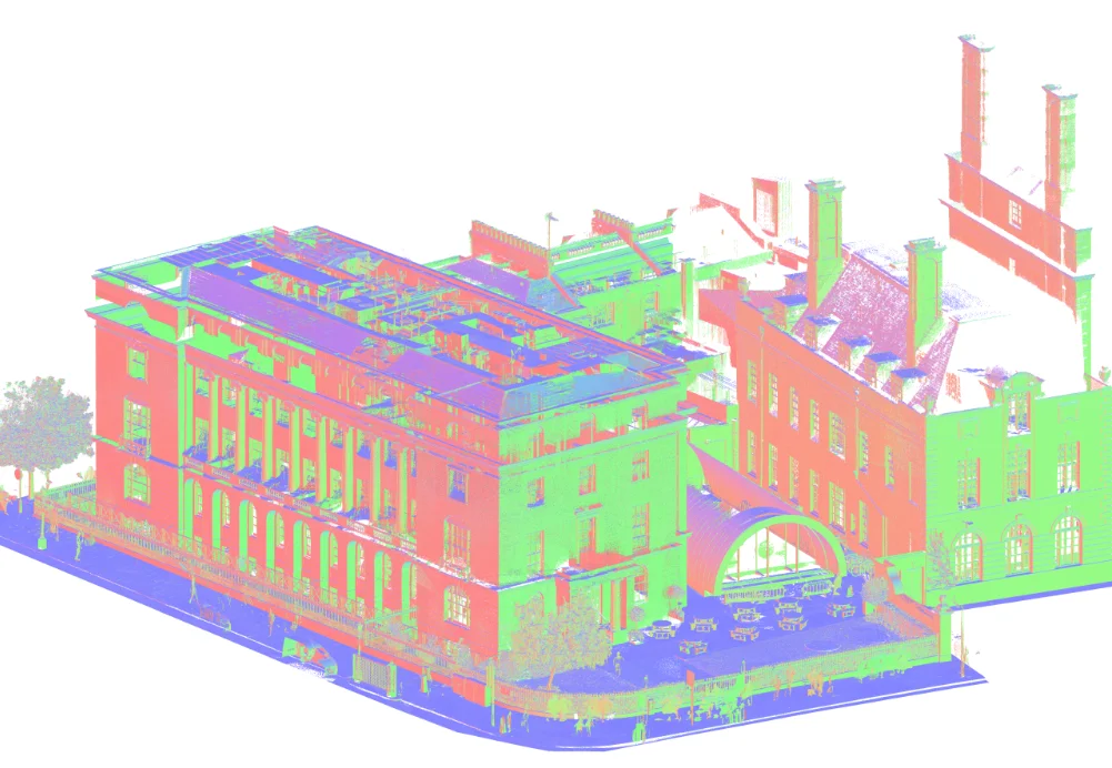
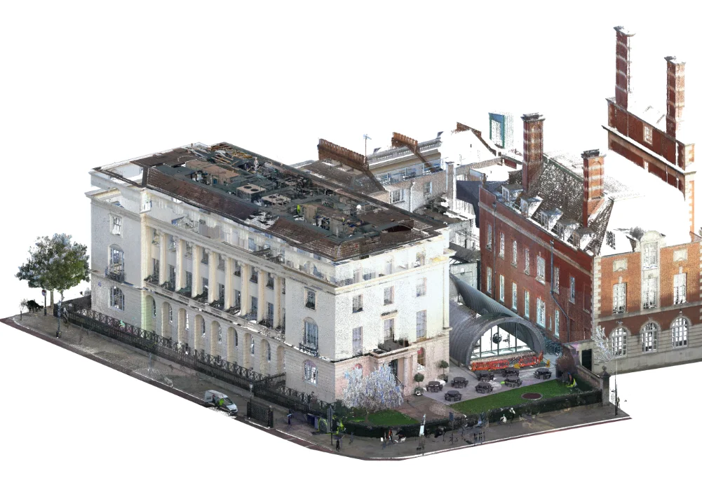
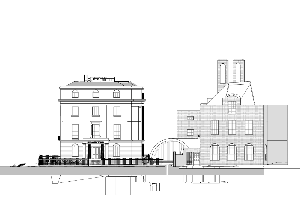
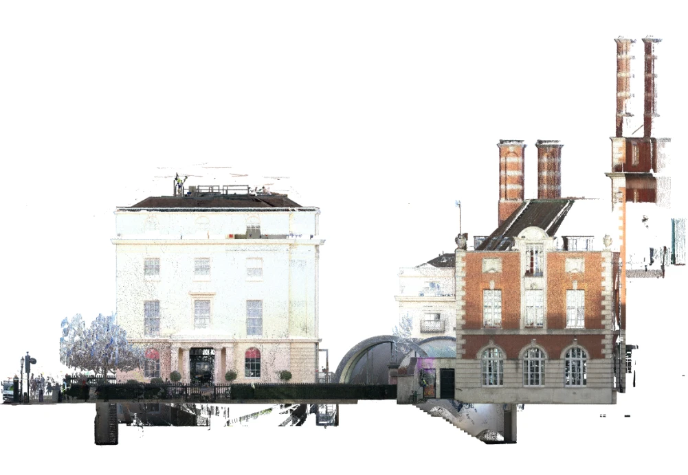
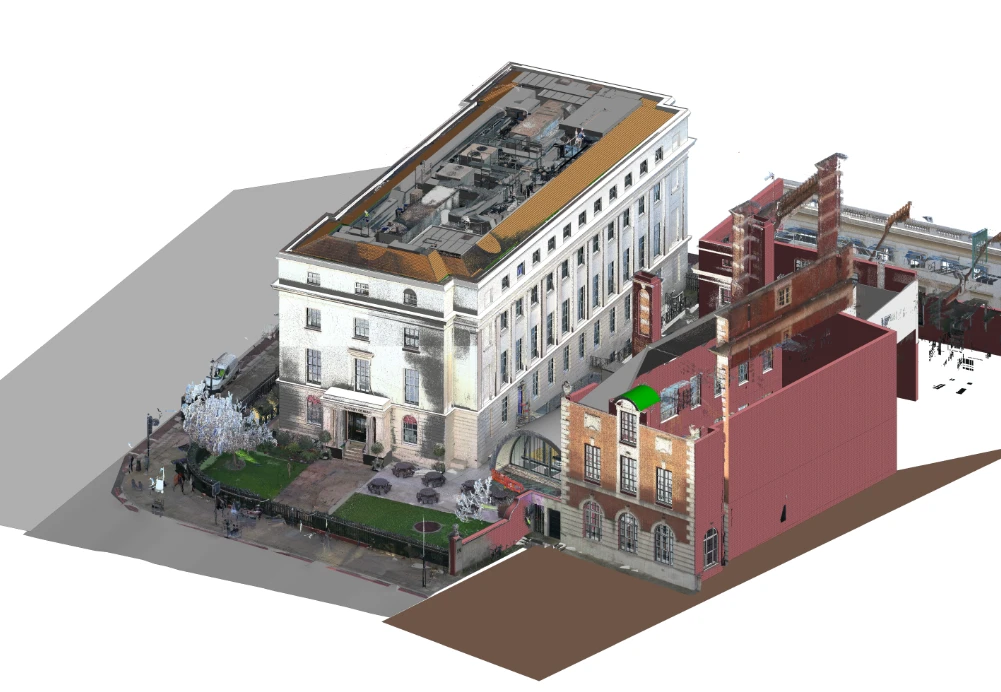
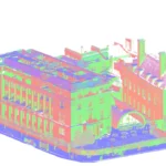
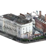
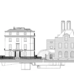
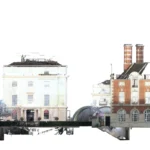
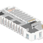
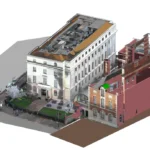
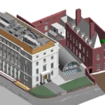
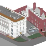
Our team carried out a detailed Measured Building Survey and developed a coordinated 3D Revit model of a historically and architecturally significant building. The scope included topographical information, elevations, sections and surrounding site context, with particular focus on accurately representing the existing building fabric.
Equipment Used
Laser Scanner RTC360
Leica GNSS Receiver GS14
Leica Total Station TS16
Duration
Site time: 4-5 days
Modelling time: 30 days
1. Detailed Building Modeling
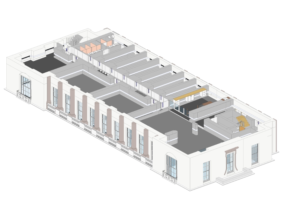
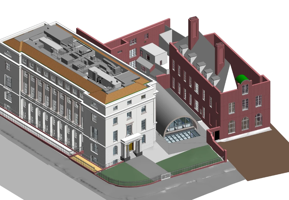
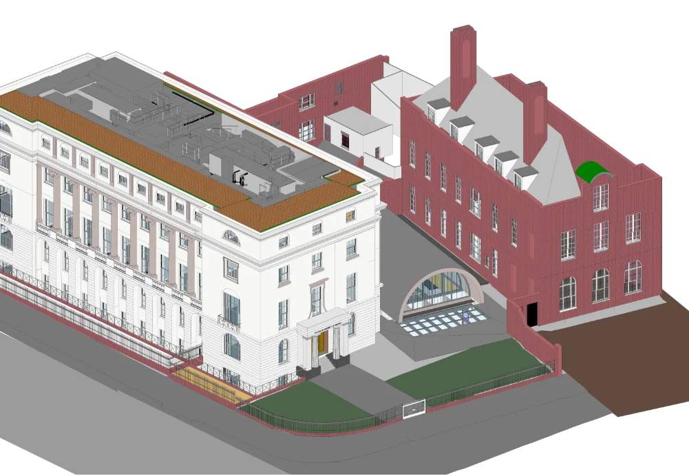
The 3D Revit model was developed within the LOD 300–350 range, supported by measured survey data, elevations and sections. Particular attention was given to the building envelope, including highly detailed window geometry with tolerances of approximately 5 mm.
Surrounding buildings and site context were also modelled to show the relationship between the building and its wider environment.
2. Complex Facade Details
The intricate and highly ornamented façade required a more detailed modelling approach than standard building geometry. Different Revit tools, BIM techniques and modelling workflows were used to reproduce the architectural details accurately while maintaining a coordinated model.
3. Internal Coordination
The internal spaces included display cases, electrical equipment, architectural components and other detailed elements requiring careful representation.
Consistency between the survey information, drawings and 3D model was maintained throughout to keep the final model coordinated and reliable.
Equipment Used
Laser Scanner RTC360
Leica GNSS Receiver GS14
Leica Total Station TS16
Duration
Site time: 4-5 days
Modelling time: 30 days
Deliverables
A coordinated LOD 300–350 Revit model supported by measured building survey data, detailed elevations, sections, topographical information and surrounding building context, providing an accurate digital representation of the existing building and site.