Design 1

Scan to BIM | Listed Building | London

Project Scope

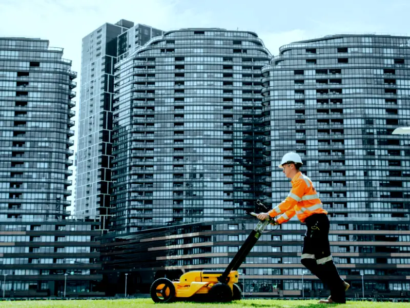
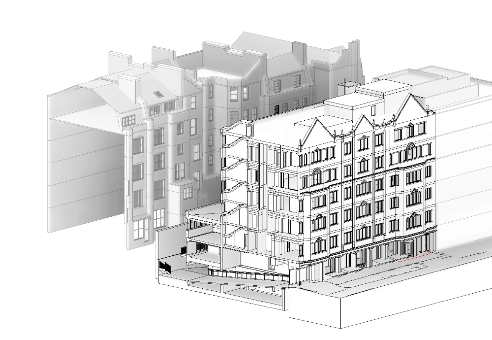
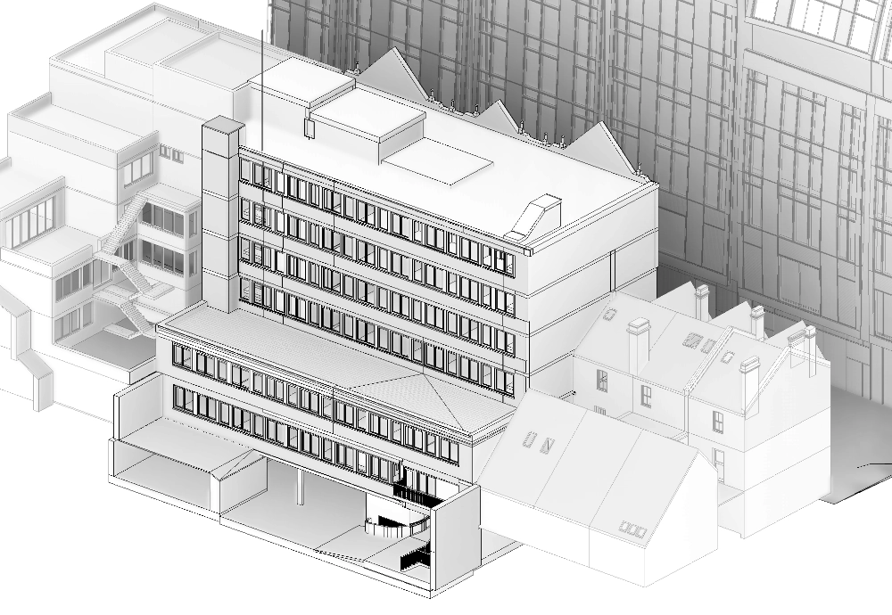
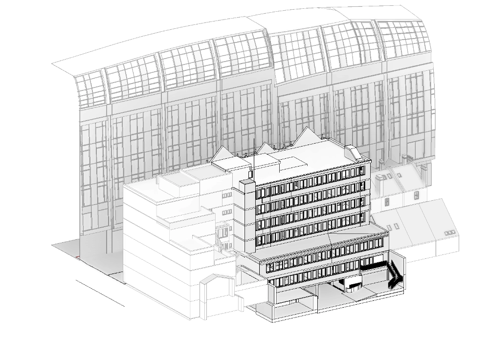
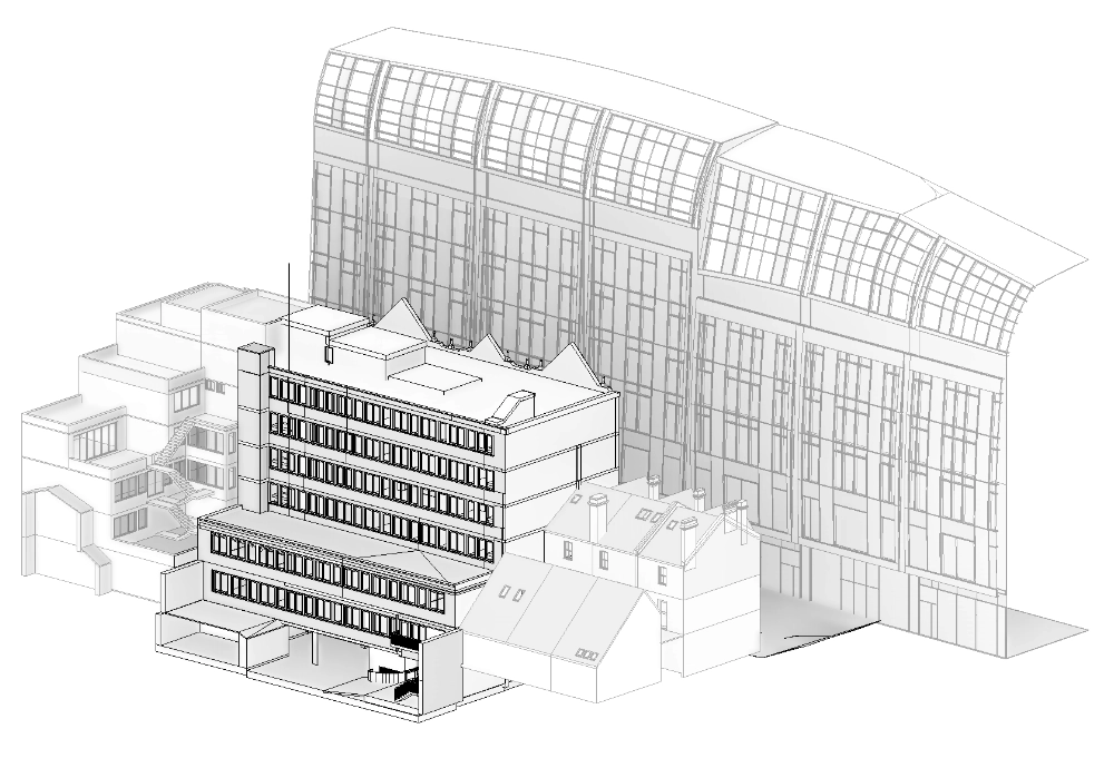
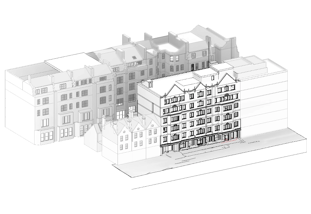
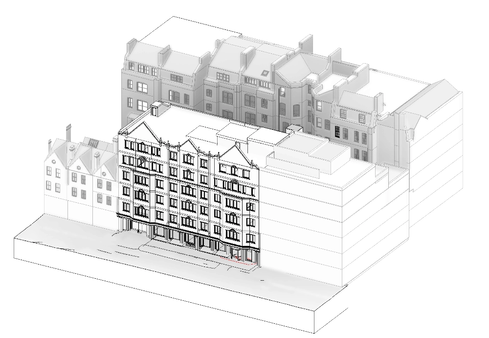
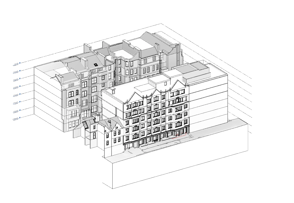
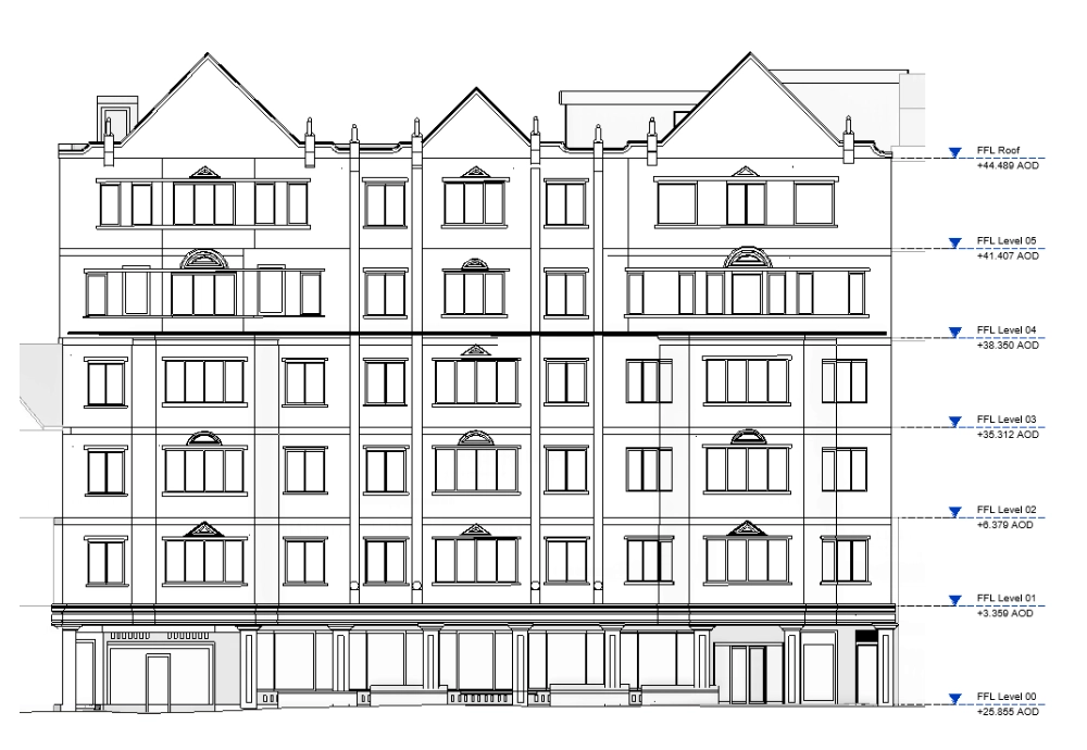
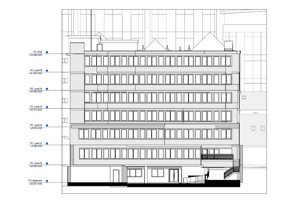
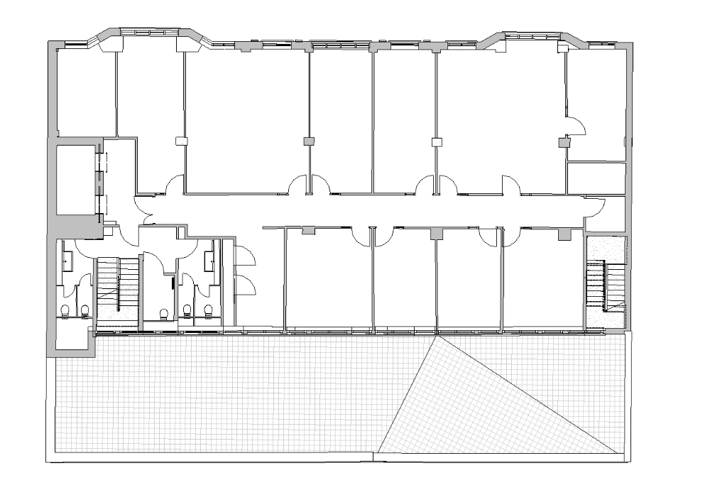
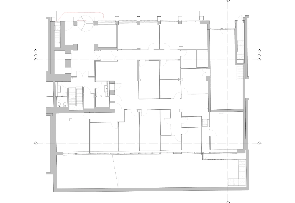
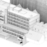
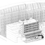
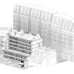
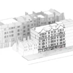
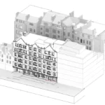
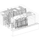
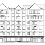
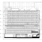
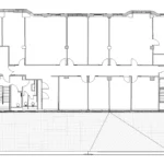
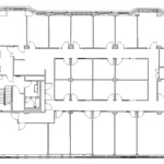
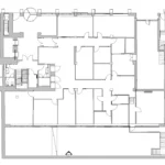
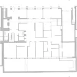
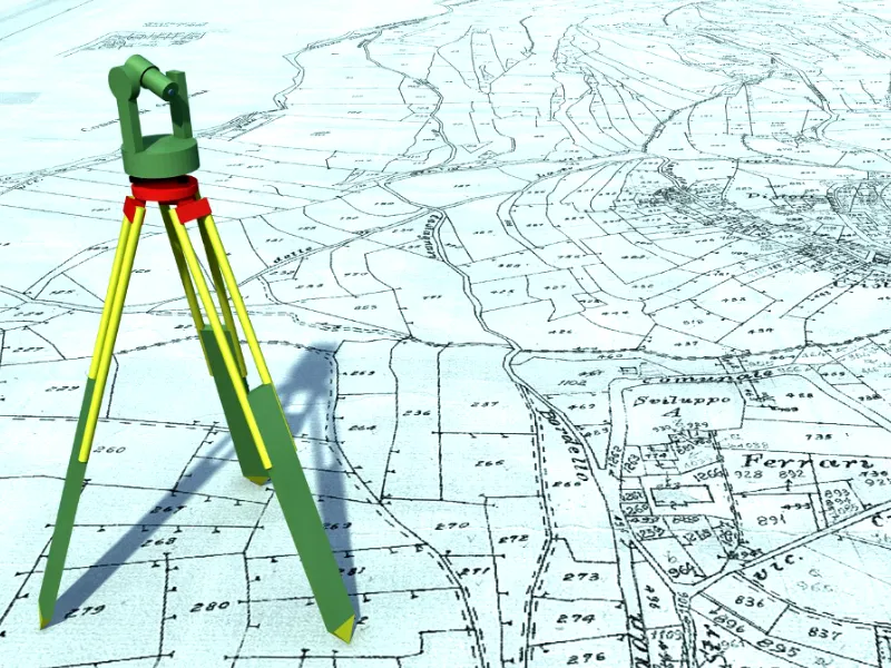
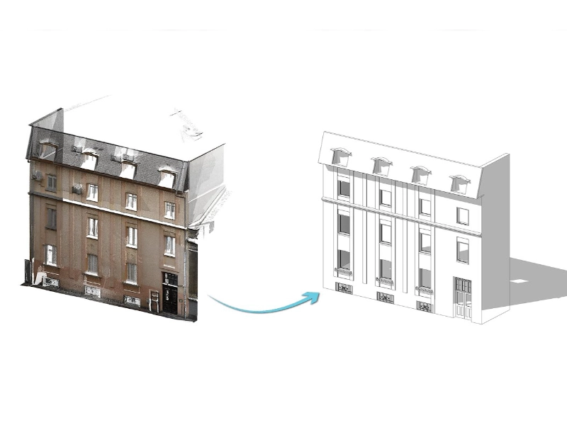
Our team carried out a detailed 3D measured building survey of a Grade II listed commercial building to support architectural design, refurbishment, and planning activities. The scope covered three services: topographical survey, detailed elevations, and site context documentation.

Equipment Used

  • Laser Scanner RTC360
  • Leica GNSS Receiver GS14
  • Leica Total Station TS16

Duration

  • Site time: 3 days
  • Modelling time: 45 days

1. Topographical Survey

Accurate spot elevations were recorded down to road level, providing the base data needed to inform the client’s design and construction decisions.

2. Detailed Elevations

The elevation work captured mouldings and cornices around windows, engaged column details, and doors. All elements were recorded as existing conditions.

3. Site Context

The client required all windows and glazing to be marked for use in a daylight survey report. Every window and glazing detail was recorded to support the client’s assessment.

Equipment Used

  • Laser Scanner RTC360
  • Leica GNSS Receiver GS14
  • Leica Total Station TS16

Duration

  • Site time: 3 days
  • Modelling time: 45 days

Deliverables

Accurate floor plans, elevations, and cross-sections, capturing both external façades and internal layouts to a level of detail suitable for redevelopment proposals and space planning.