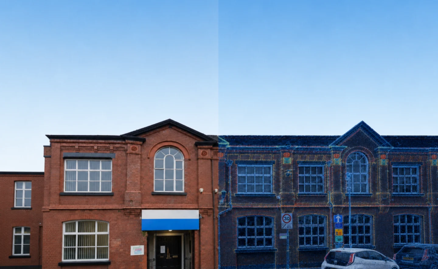
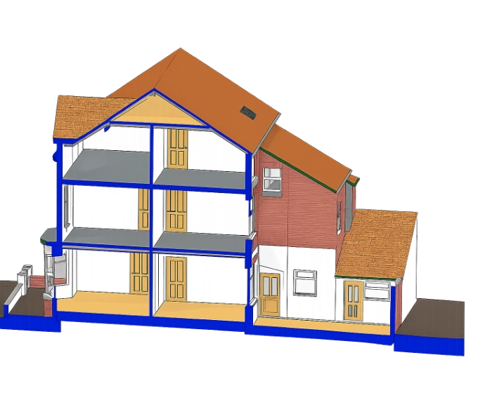
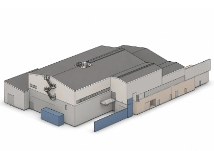
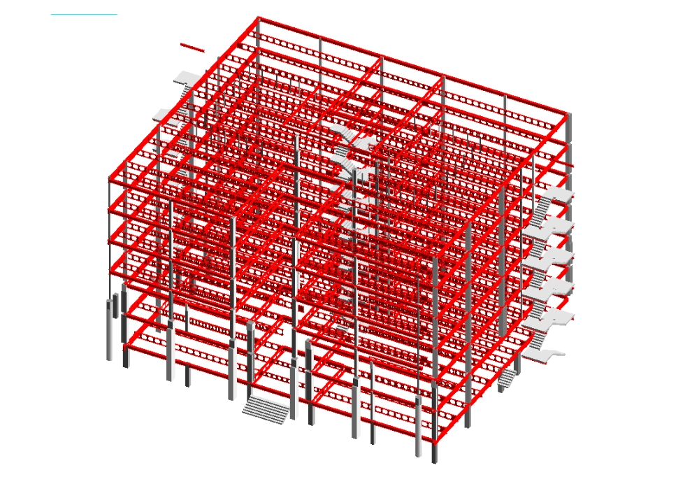
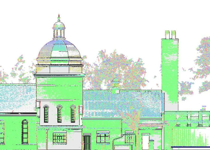
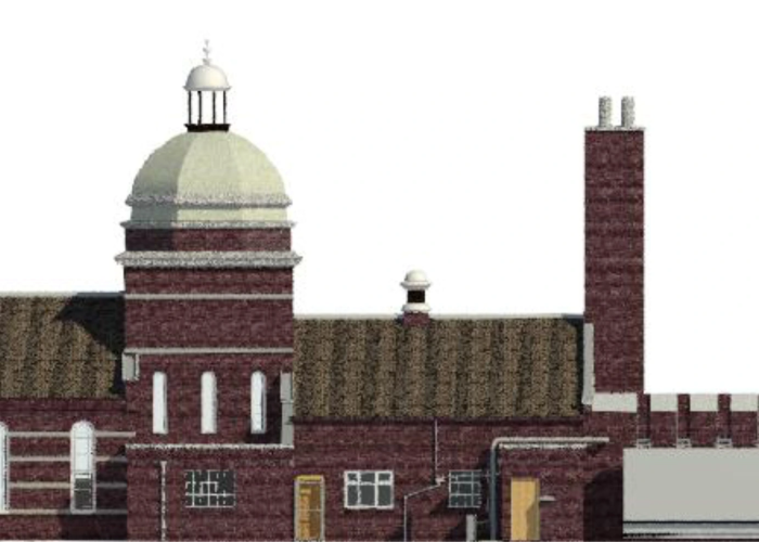
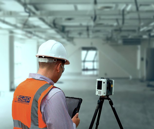
Accurate 3D laser scanning surveys for design, refurbishment, construction and existing-condition records. Survey2Plan captures detailed building and site information and delivers registered point cloud, CAD and Revit-ready outputs based on your project scope.
Get a reliable digital record of your building or site before design or construction work begins.
Capture Existing Conditions Without Relying on Incomplete Records
Outdated drawings and limited site measurements can create uncertainty before design or refurbishment work begins. Complex geometry, missing details and difficult-to-access areas can lead to extra checks, repeat visits and coordination problems.
A 3D laser scanning survey gives your project team a detailed digital record of visible existing conditions, helping everyone work from the same reliable information.
Typical Project Challenges
Outdated or incomplete drawings
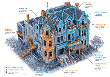
Complex or irregular building geometry
Missing structural and service
information
Difficult-to-access areas
Repeated manual measurement
Accurate 3D Survey Data
Detailed existing-condition
capture
Registered point cloud data
Clear spatial relationships
Information available for remote review
Reliable reference for drawings & models
Survey Data and Outputs Based on Your Project Scope
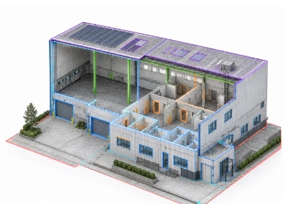
Building Geometry
Structural Elements
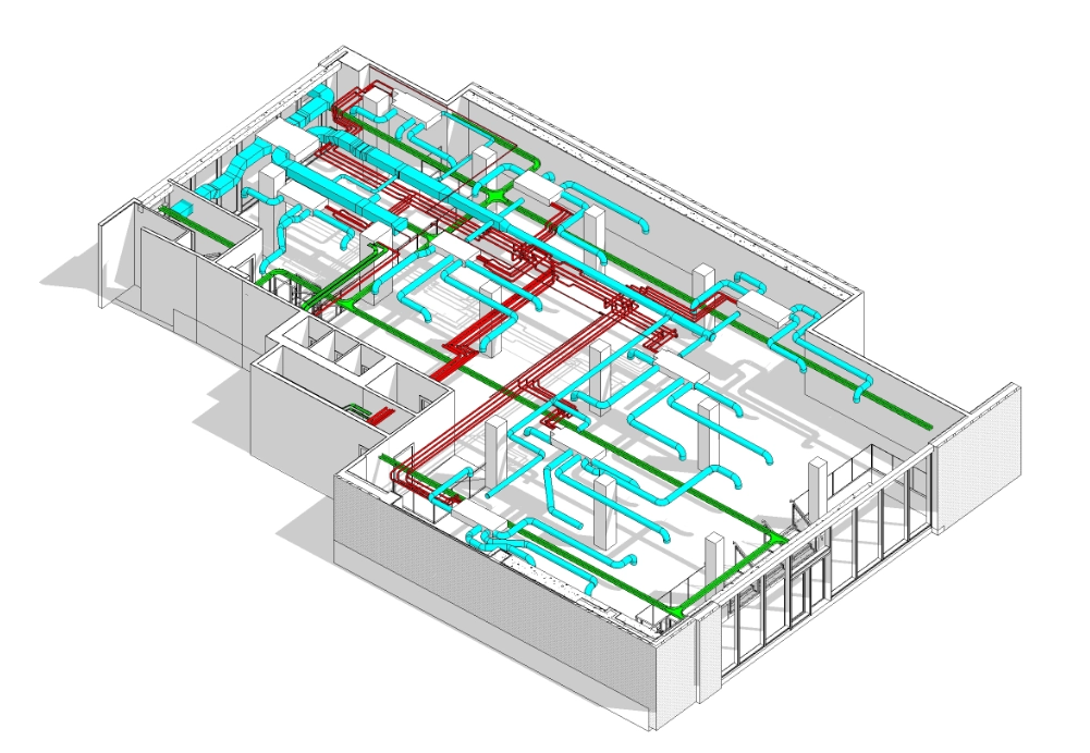
MEP Services
External Sites & Structures
Complex & Irregular Features
Existing Spatial Relationships
Choose the Right 3D Laser Scanning Survey Scope
Building Capture Survey
Best for measured building surveys, architectural design and existing-condition records.
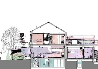
A 3D laser scanning survey records visible building or site conditions by capturing millions of measured points. These points are processed into a detailed 3D point cloud.
What is a point cloud?
A point cloud is a digital collection of measured points representing the shape, position and visible features of a building or site.
Is a point cloud survey the same as a laser scanning survey?
A laser scanning survey is the method used to capture the site. The point cloud is the digital data produced from that survey.
What can be captured using 3D laser scanning?
Laser scanning can capture visible architectural features, structures, façades, building services, equipment and surrounding site conditions within the agreed survey area.
What file formats can you provide?
We can provide registered point cloud, DWG, PDF, Revit, IFC and other agreed file formats depending on the project requirements.
Can you produce CAD drawings from the point cloud?
Yes. Floor plans, elevations, sections and other measured drawings can be produced from the registered point cloud.
Can you convert the point cloud into a Revit model?
Yes. We provide Scan to BIM and Revit modelling services for projects requiring structured architectural, structural or visible MEP models.
Can you work in occupied buildings?
Yes, subject to access and site conditions. We can plan the survey to reduce disruption where possible.
How long does a 3D laser scanning survey take?
Timescales depend on the building size, access, complexity, required scan detail and final deliverables. We confirm the programme before work begins.
What affects the cost of 3D laser scanning?
The cost depends on the survey area, building complexity, access, required detail, point cloud formats and any CAD or Revit outputs.
Do you provide 3D laser scanning surveys across the UK?
Yes. Survey2Plan supports 3D laser scanning and point cloud survey projects across the whole UK.
Drop your File here
Request your survey quote
Tell us where and what, and we will price it properly.