Design 1

Measured Building & Topo Survey | Listed Building | Oxfordshire

Project Scope

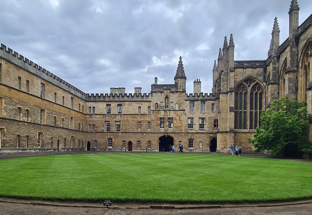
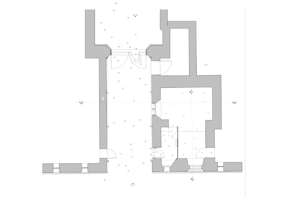
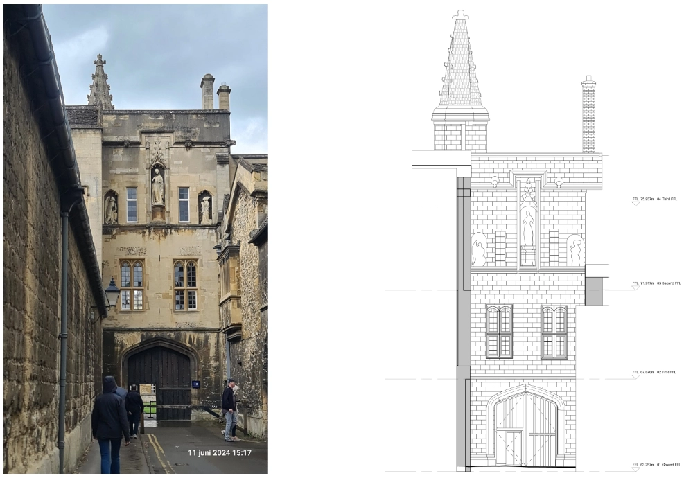
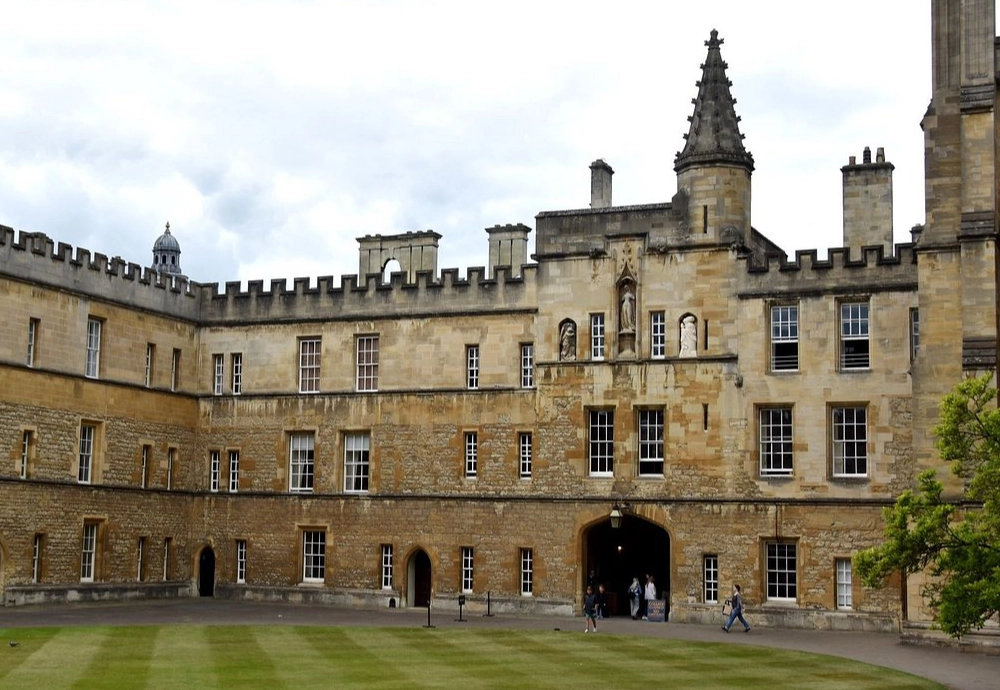
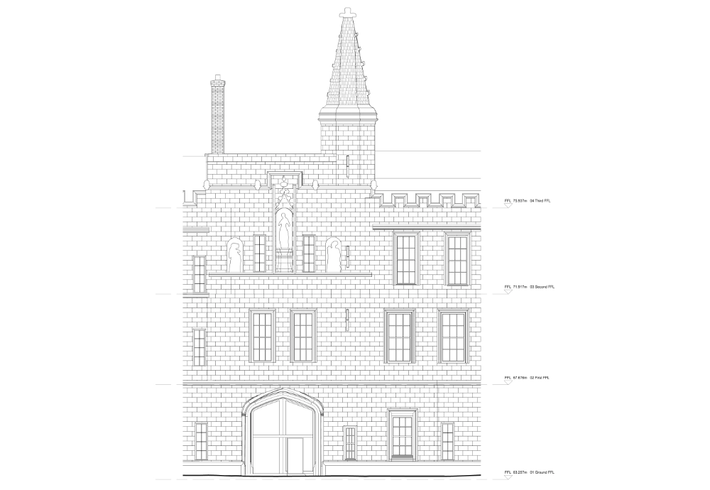
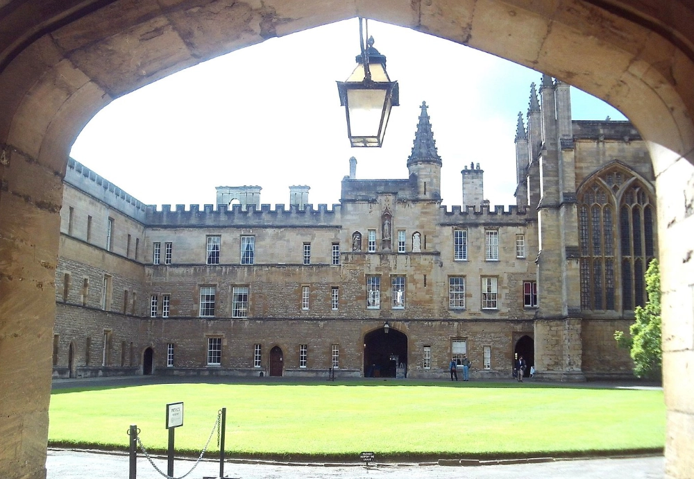
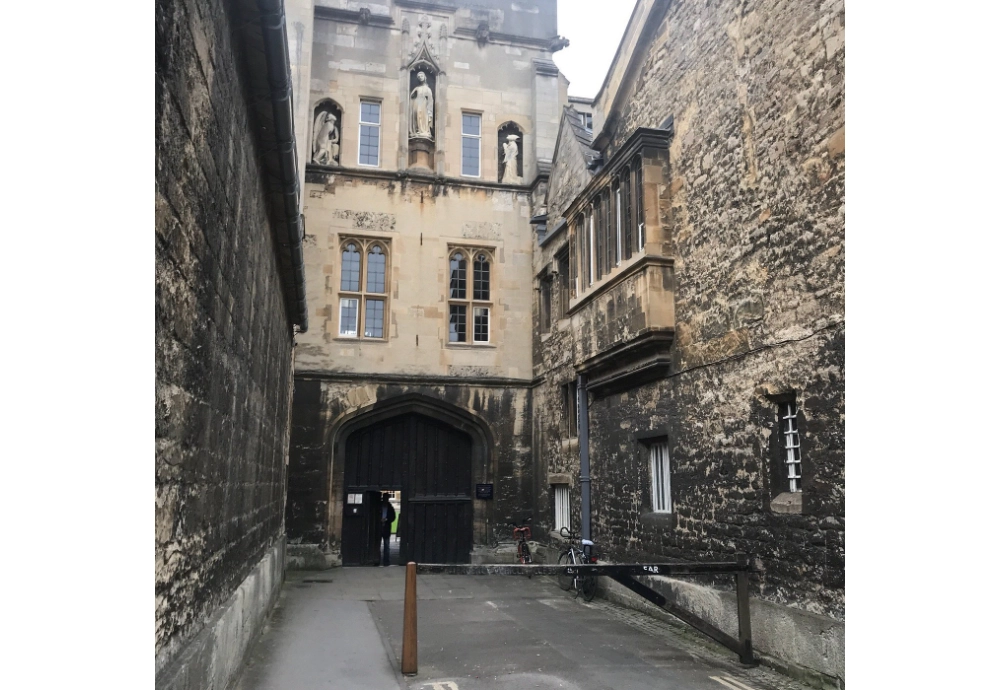
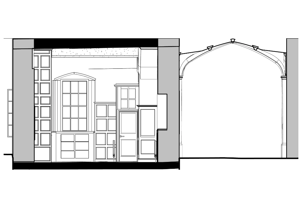
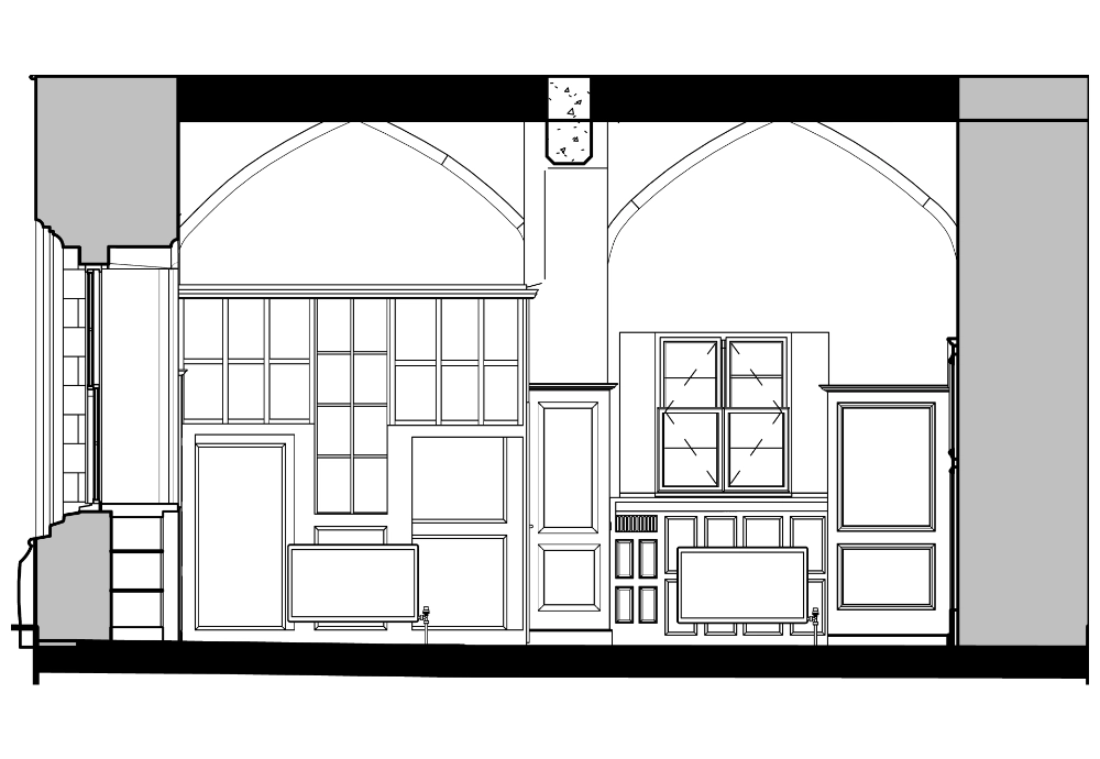
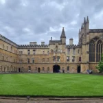
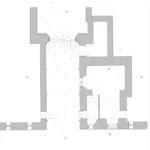
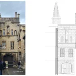
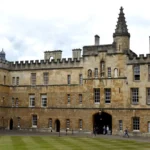
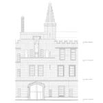
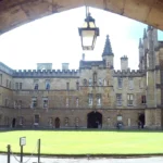
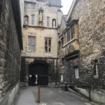
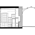
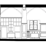
Our team carried out a 3D measured building survey and topographical survey of a Grade I listed college building, founded in 1379. The building spans medieval and Gothic Revival architectural styles. The scope covered three services: topographical survey, detailed elevations, and interior elevations.

Equipment Used

  • Laser Scanner RTC360
  • Leica GNSS Receiver GS14
  • Leica Total Station TS16

Duration

  • Site time: 3 days
  • Modelling time: 45 days

1. Topographical Survey

Accurate spot elevation marking was recorded across the site to inform the client’s design and construction decisions.

2. Detailed Elevations

The elevation work captured statues, window mouldings, and ornamental features. All elements were recorded as existing conditions.

3. Interior Elevations

Interior work covered splayed window details, vaulted ceilings, wall mouldings, and antique door detailing. Each feature was documented to maintain the building’s historical integrity while supporting its functional and aesthetic requirements.

Equipment Used

  • Laser Scanner RTC360
  • Leica GNSS Receiver GS14
  • Leica Total Station TS16

Duration

  • Site time: 3 days
  • Modelling time: 45 days

Deliverables

Survey outputs were issued to the client to support ongoing conservation and design work.