Underground Utility Surveys for Planning, Design and Excavation
Accurate underground utility surveys for development, engineering, construction and groundworks projects. Survey2Plan locates and maps detectable buried services, helping your team plan with better information before excavation begins.
Reduce uncertainty around underground cables, pipes, ducts and drainage within your project area.
Plan and Excavate With Better Underground Information
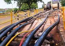
Incomplete utility records and unknown service routes can create problems before design or groundworks begin. Buried cables, pipes and ducts may affect drainage, foundations, access roads, landscaping and proposed service connections.
An underground utility survey gives your project team clearer information about detectable buried services, helping reduce assumptions during planning and excavation.
Typical Project Risks
Incomplete or outdated utility records
Unknown cable and pipe routes
Conflicts with proposed works
Excavation delays or service damage
Usable Utility Survey Data
Detectable utilities mapped on site
Clear service routes and annotations
Better information for design teams
Improved coordination before groundworks
Underground Utility Survey Data Based
on Your Project Scope
Electricity Cables
Telecom Services
Gas Services
Water Services
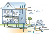
Drainage & Sewers
Service Ducts
Choose the Right Underground
Utility Survey Scope
Utility Records
Search
Best for early feasibility,
planning and initial site review.
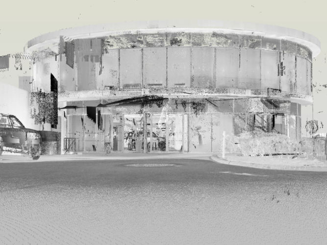
A measured building survey records the existing layout, structure and key dimensions of a building. It is used to create accurate drawings or models for design, planning, refurbishment and construction work.
What is included in a measured building survey?
This depends on the project scope. It can include floor plans, elevations, sections, roof plans, reflected ceiling plans, levels, site plans, point cloud data and Revit-ready outputs.
What file formats will I receive?
We can provide survey data in DWG, PDF, point cloud and Revit formats, depending on what your design team needs.
Do you provide Revit models?
Yes. We can provide Revit-ready outputs and Scan to BIM support for projects that need 3D design, coordination or BIM workflows.
How long does a measured building survey take?
This depends on the building size, access, level of detail and required deliverables. We confirm the expected timescale before work begins.
What areas do you cover?
Survey2Plan supports measured building survey projects across the whole UK.
What software do you work with?
We work with CAD, Revit and point cloud workflows, so your survey outputs can be prepared in a format suitable for your architectural team.
Do you use 3D laser scanning?
Yes. We use professional 3D laser scanning equipment where detailed, complex or irregular buildings need to be captured accurately.
What types of projects do you specialise in?
We regularly support projects for schools and universities, offices, residential properties, refurbishments and existing building records.
What are the benefits of choosing Survey2Plan?
You get clear survey scope before work begins, clean usable drawings, CAD and Revit support, transparent pricing, up to 10 post-delivery revisions and experienced support for architectural projects.